Glenn Miller

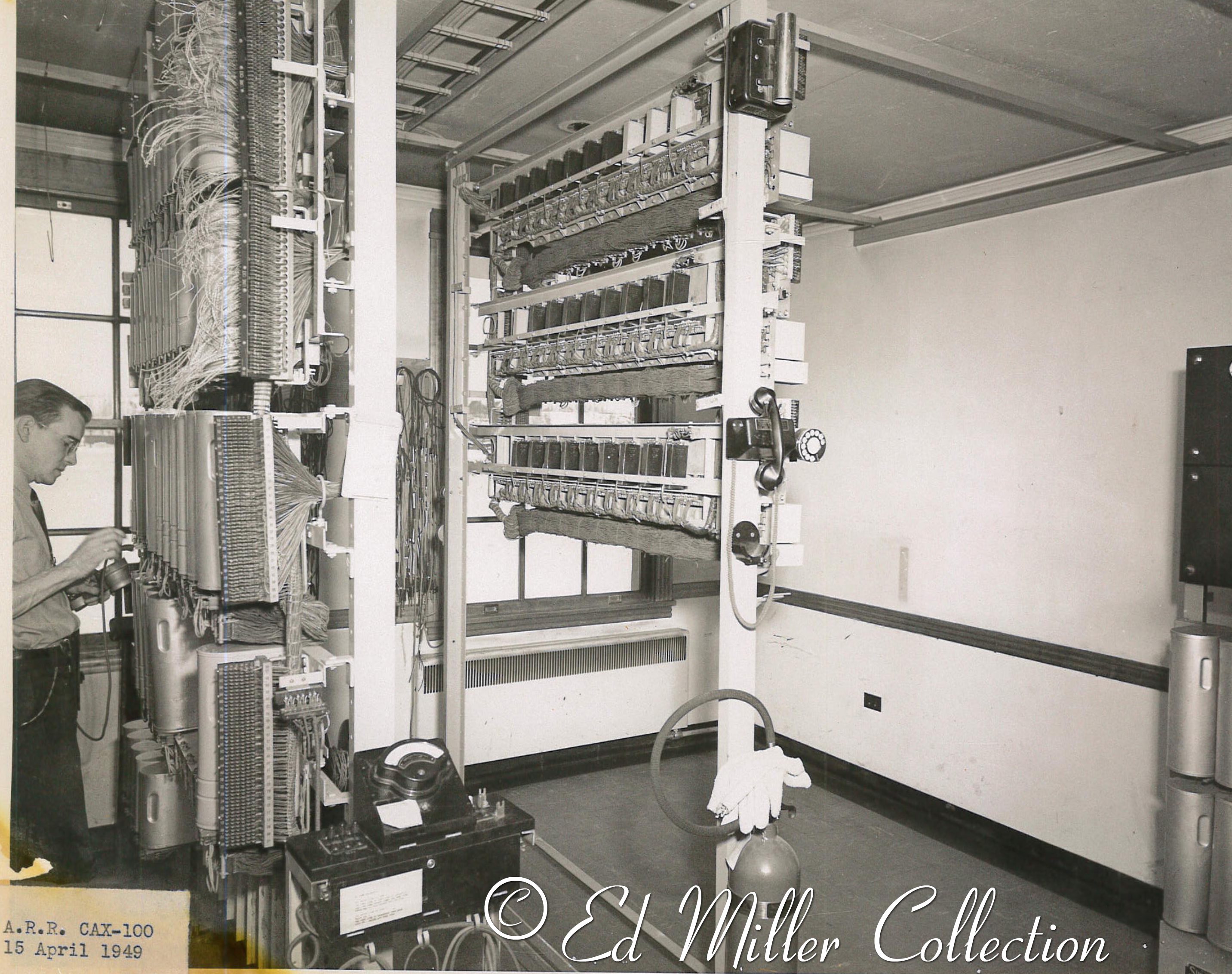
Ed Miller shared the following, "I was born in 1964 in Seward to Glenn and Joanne Miller. My Dad, Glenn Miller worked for the ARR from 1948-1977. He was in the communications area and was a direct report to Andy Clark. My dad passed in 2001 so I only have memories now. He was a wonderful man and loved working on the ARR.

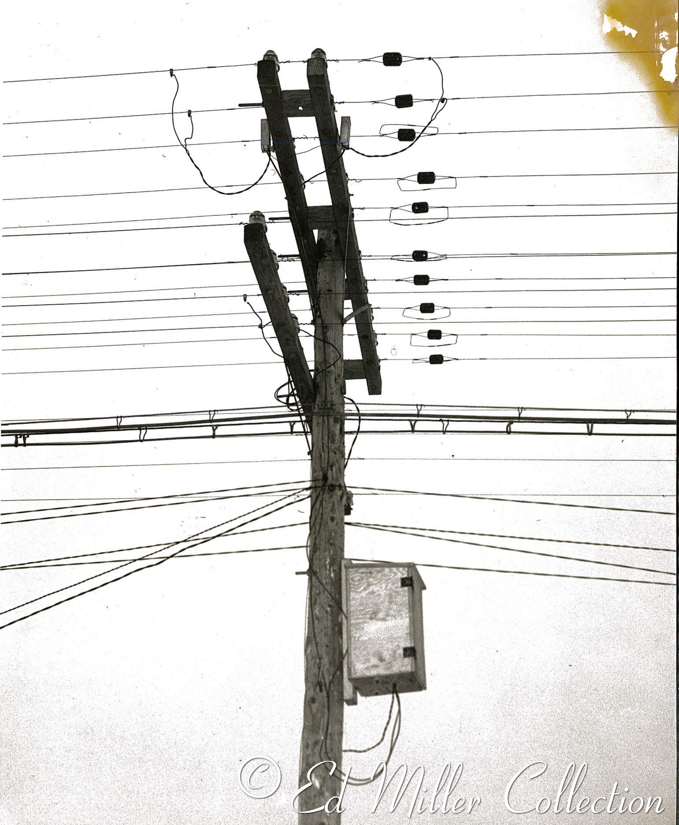
"He started in Moose Pass as a communication lineman and maintained the telephone lines and signals from Seward to Portage, including the line to Whittier. It was a sportsman's paradise for my dad..He love to hunt and fished so the mud flats around portage filled his duck hunting habit and the area between Portage and tunnel were prime moose country.

"In 1968 he was offered a job in Anchorage and took it. By then most of the section houses where closed down (Portage Tunnel and Then Moose Pass was all that was left.) Dad retired from the ARR when they were facing the state buyout."

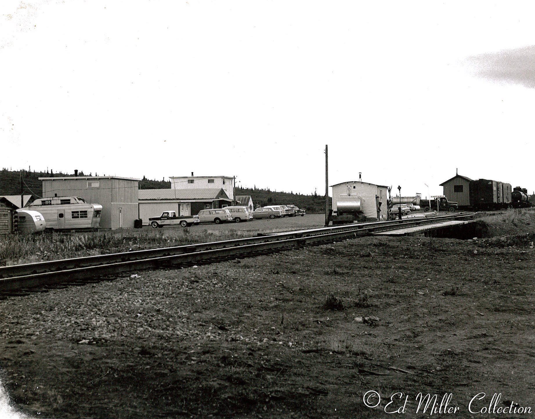
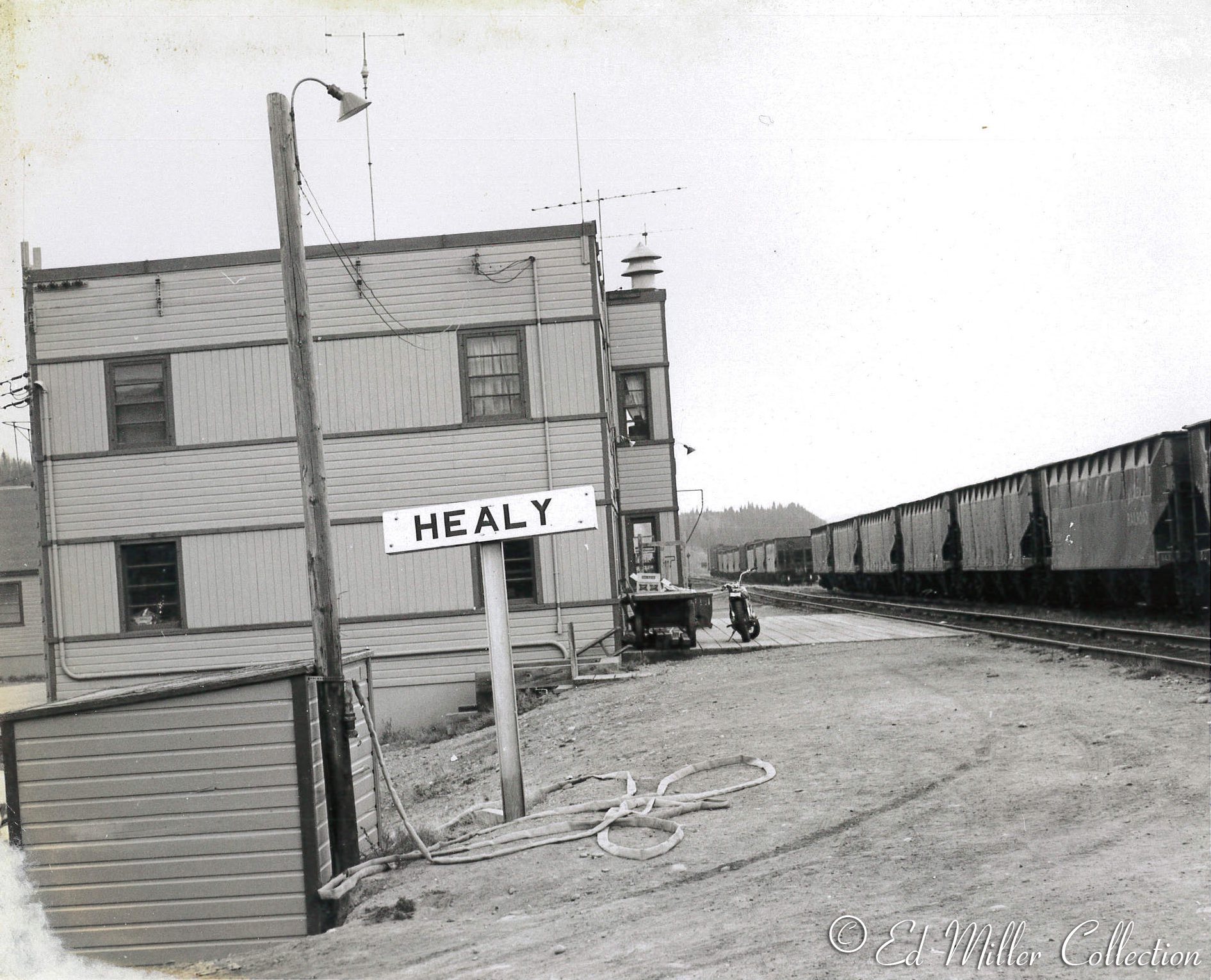
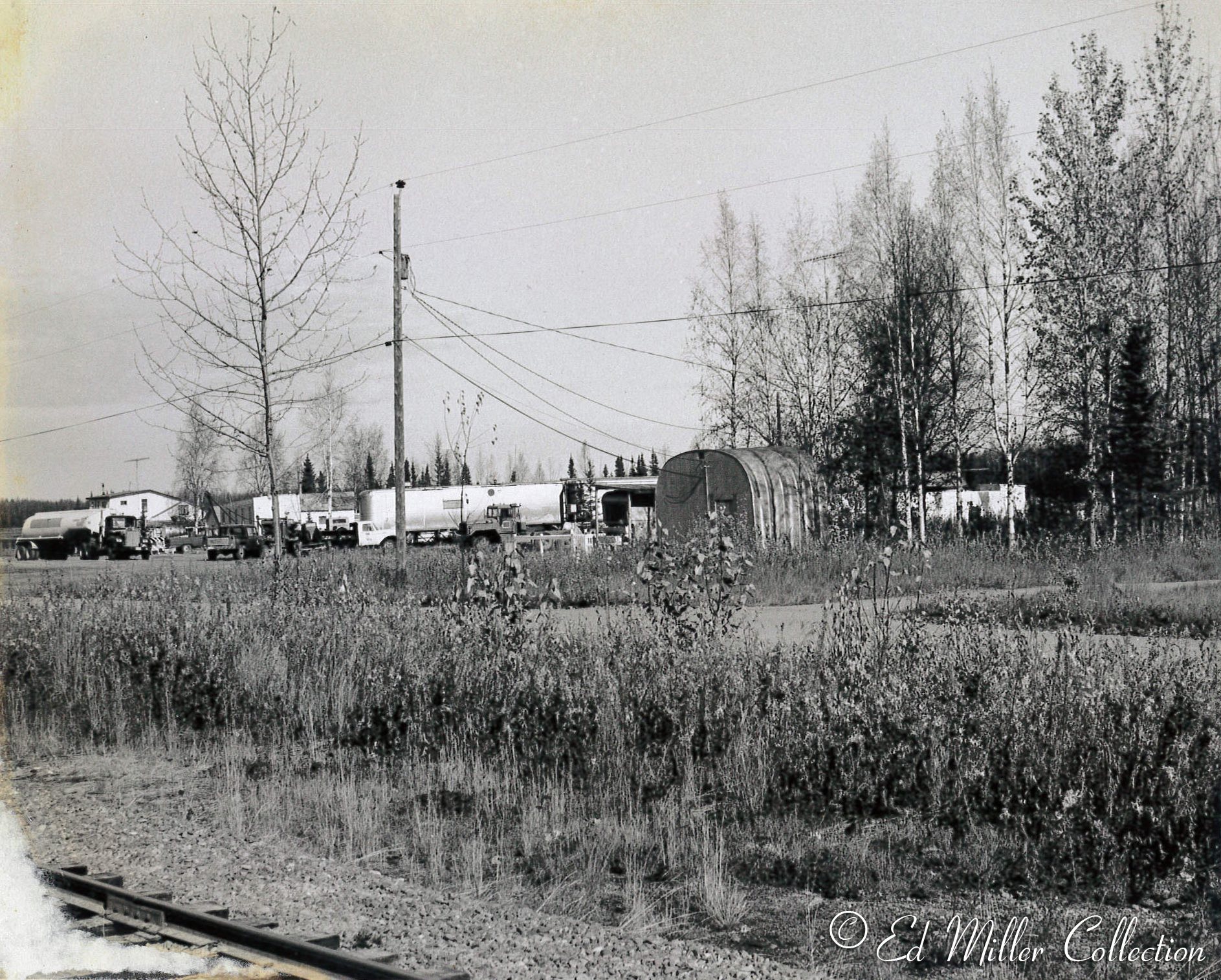
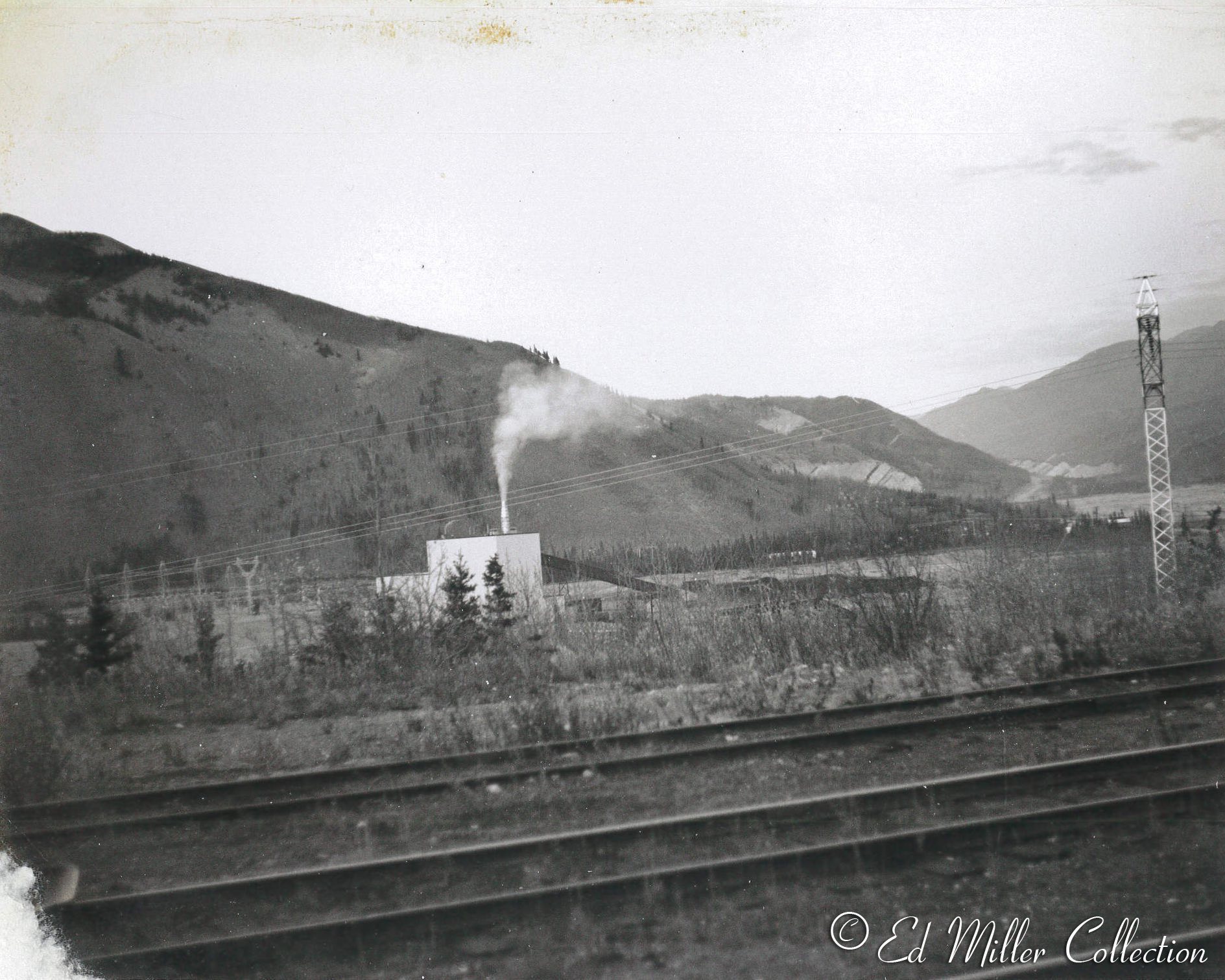
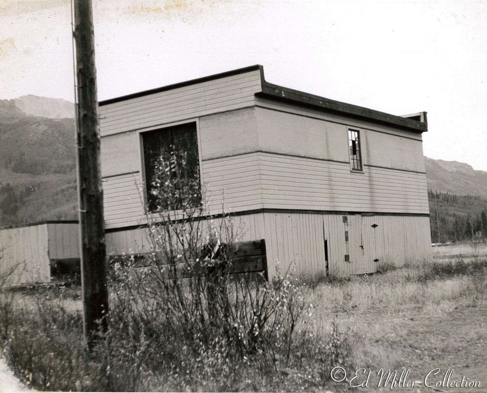
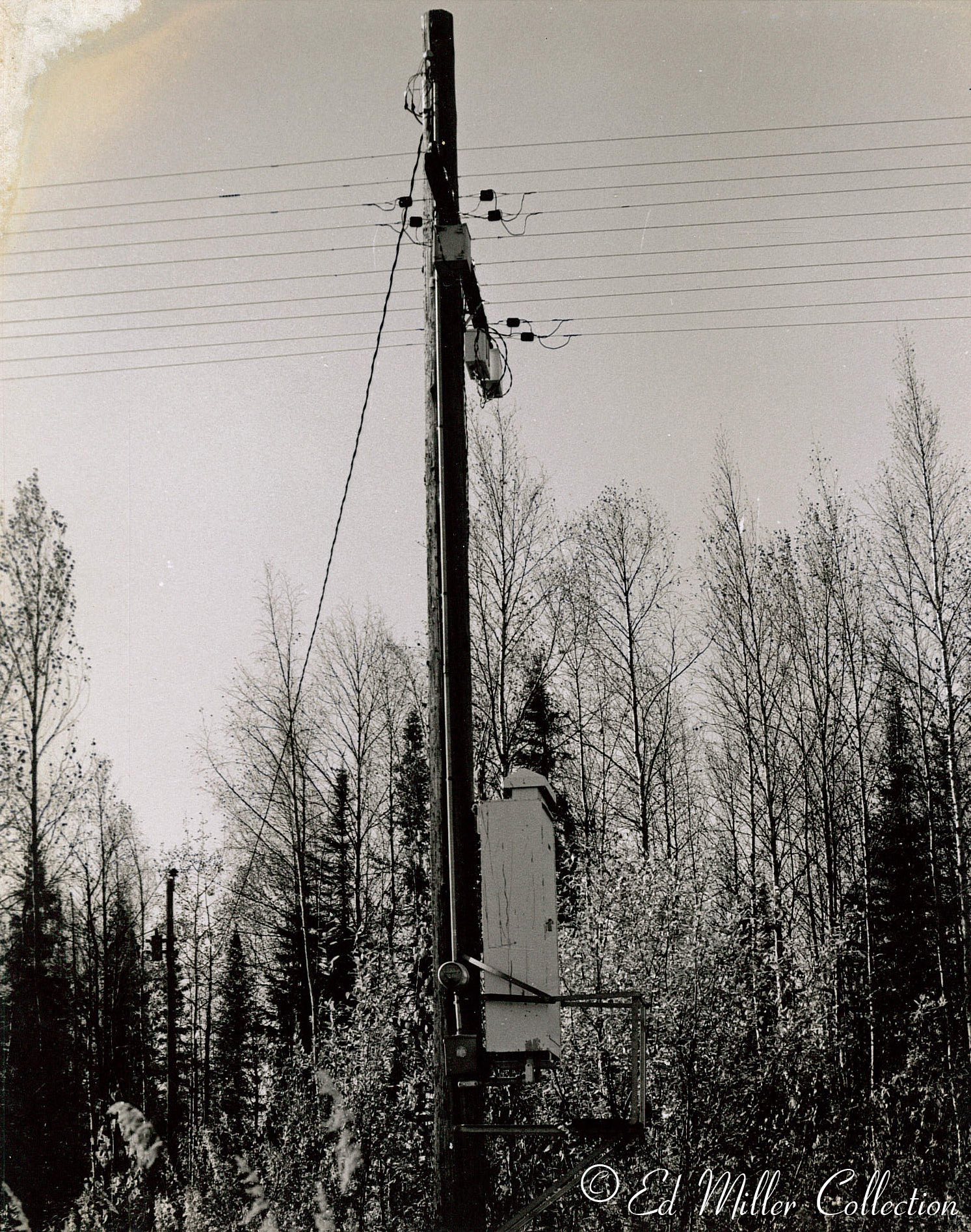
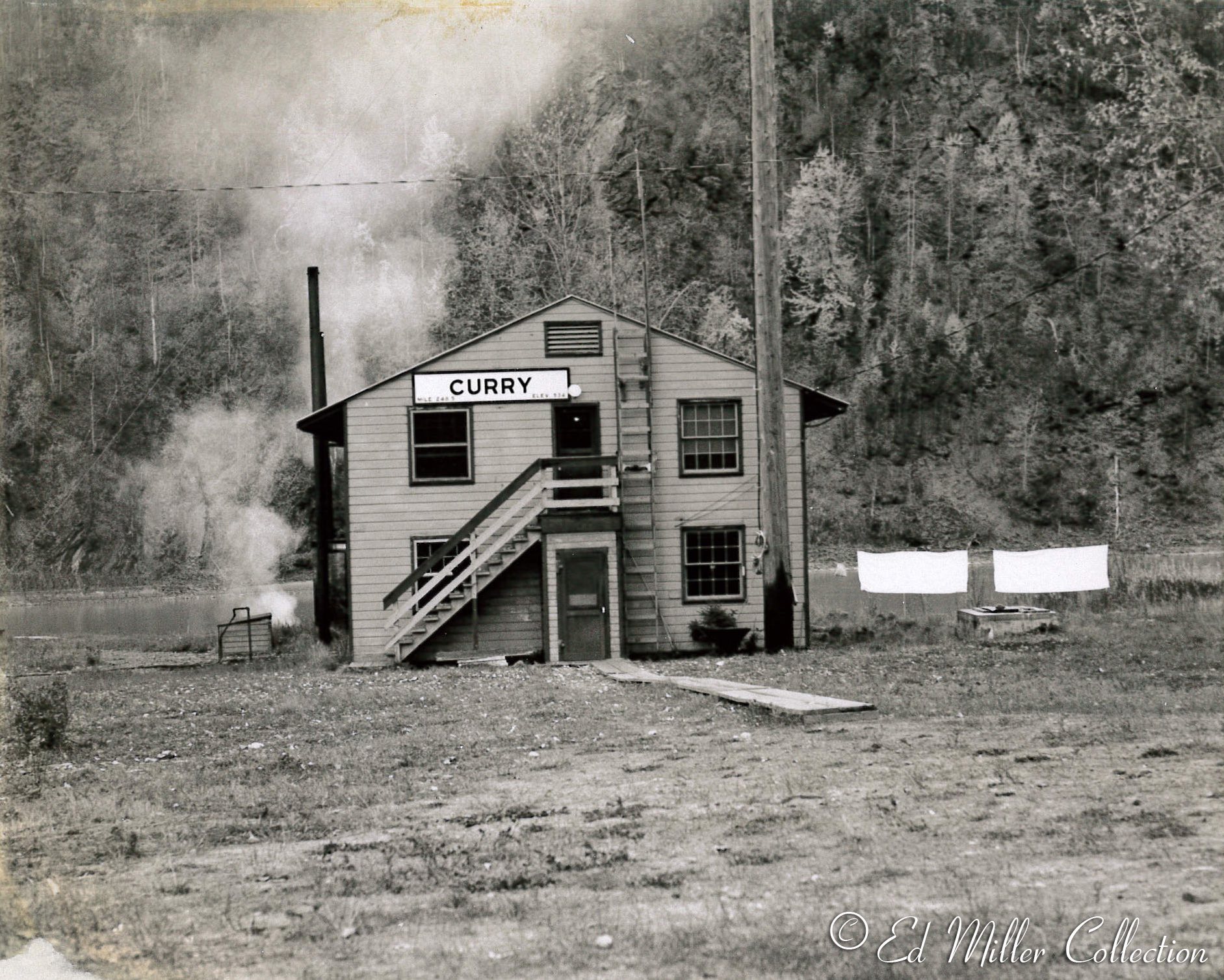
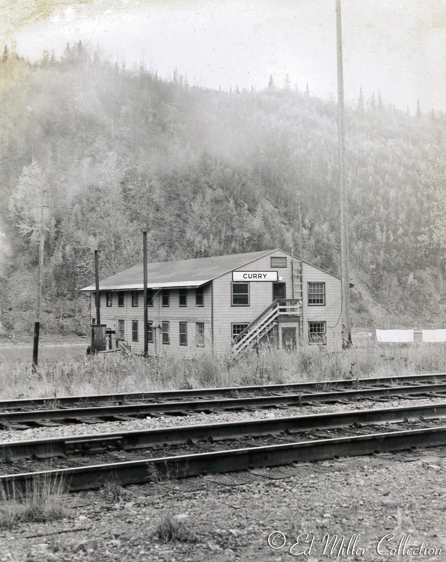
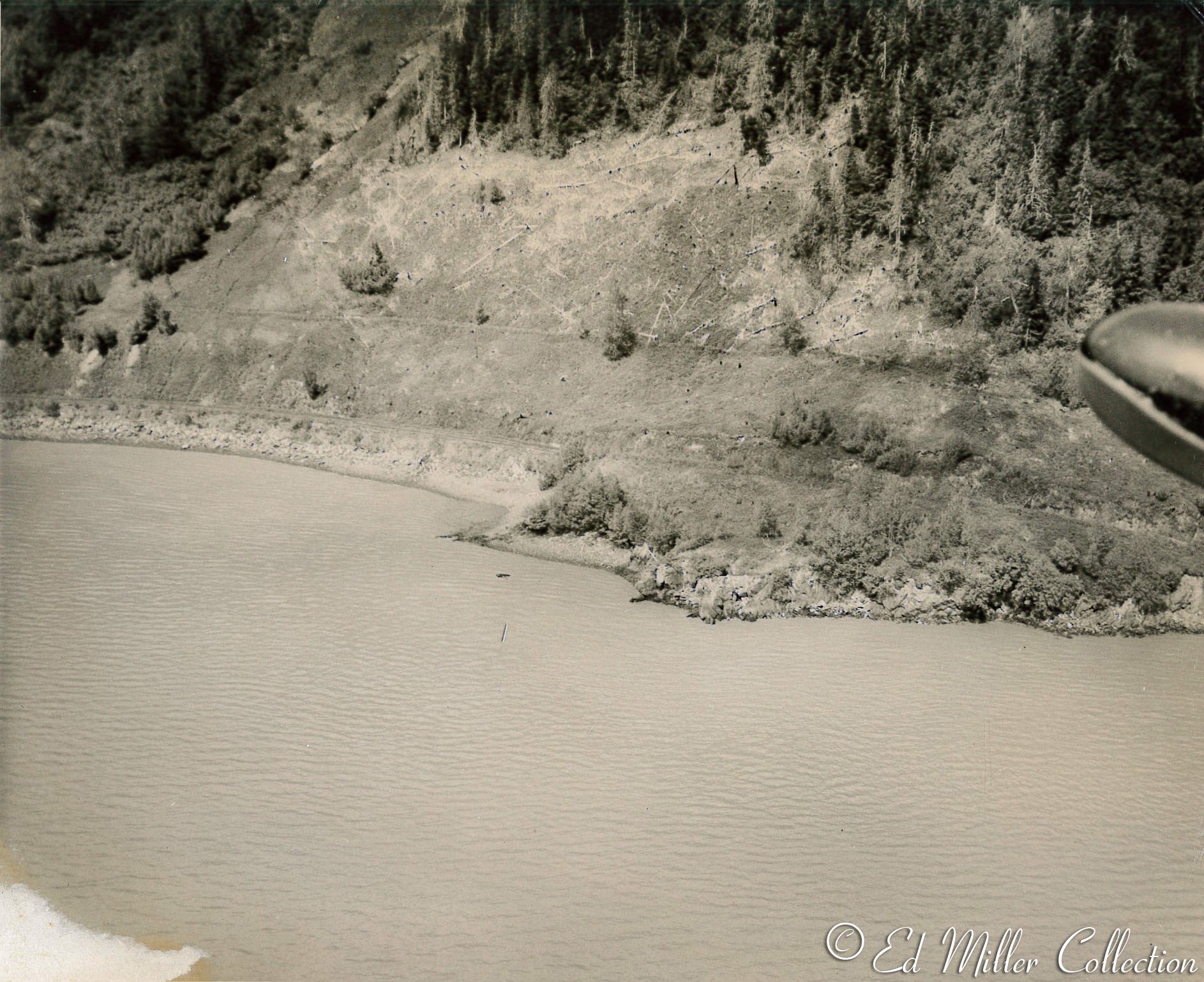
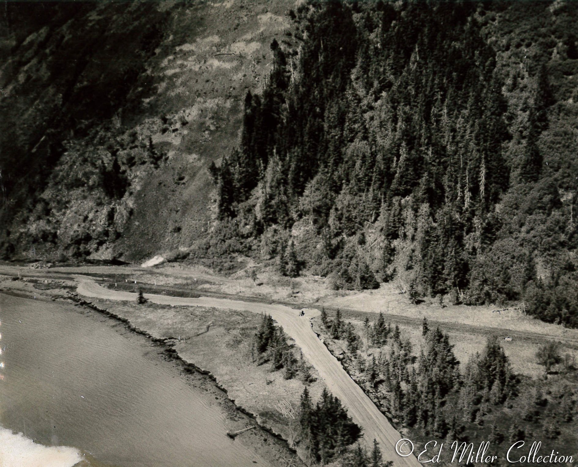
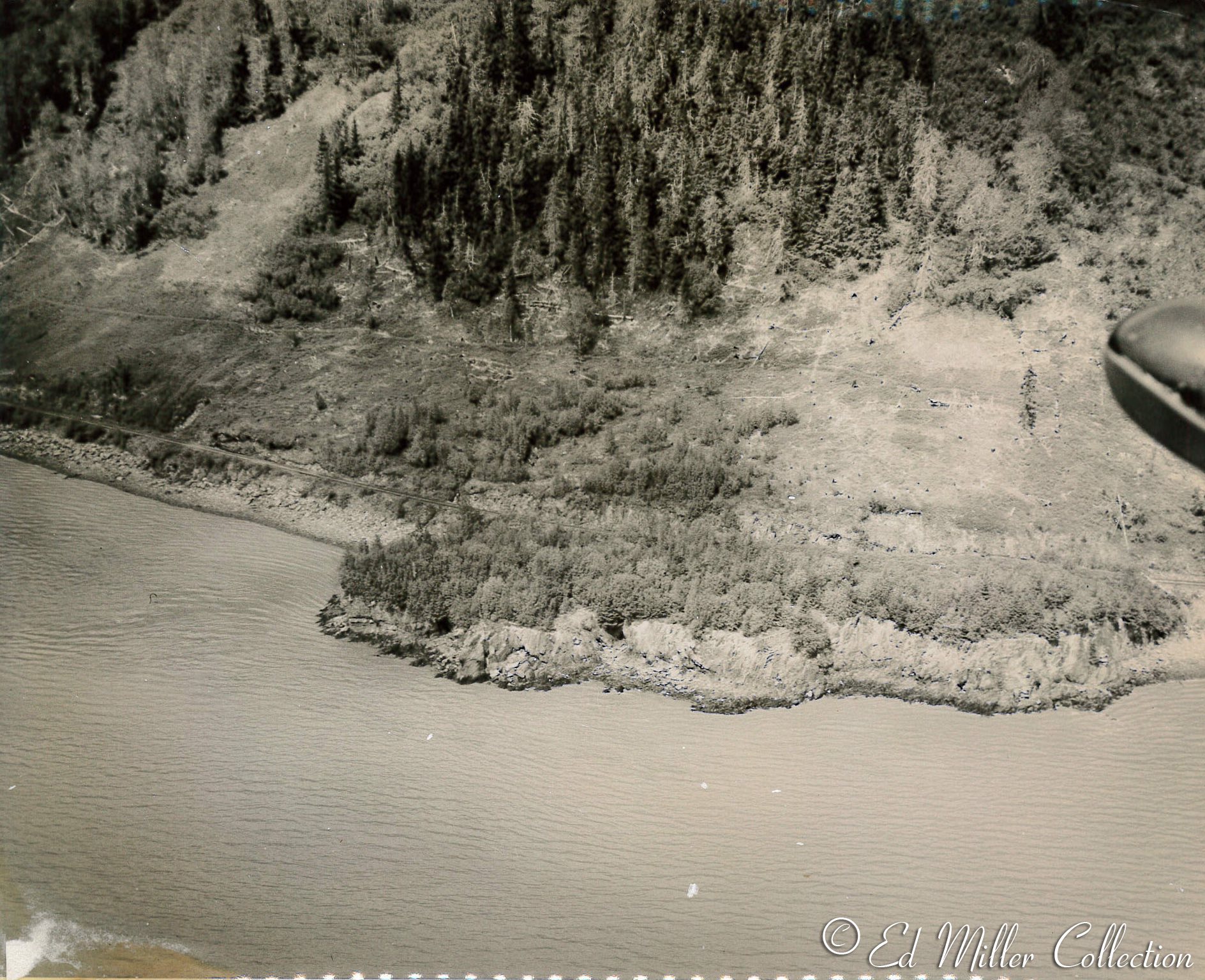
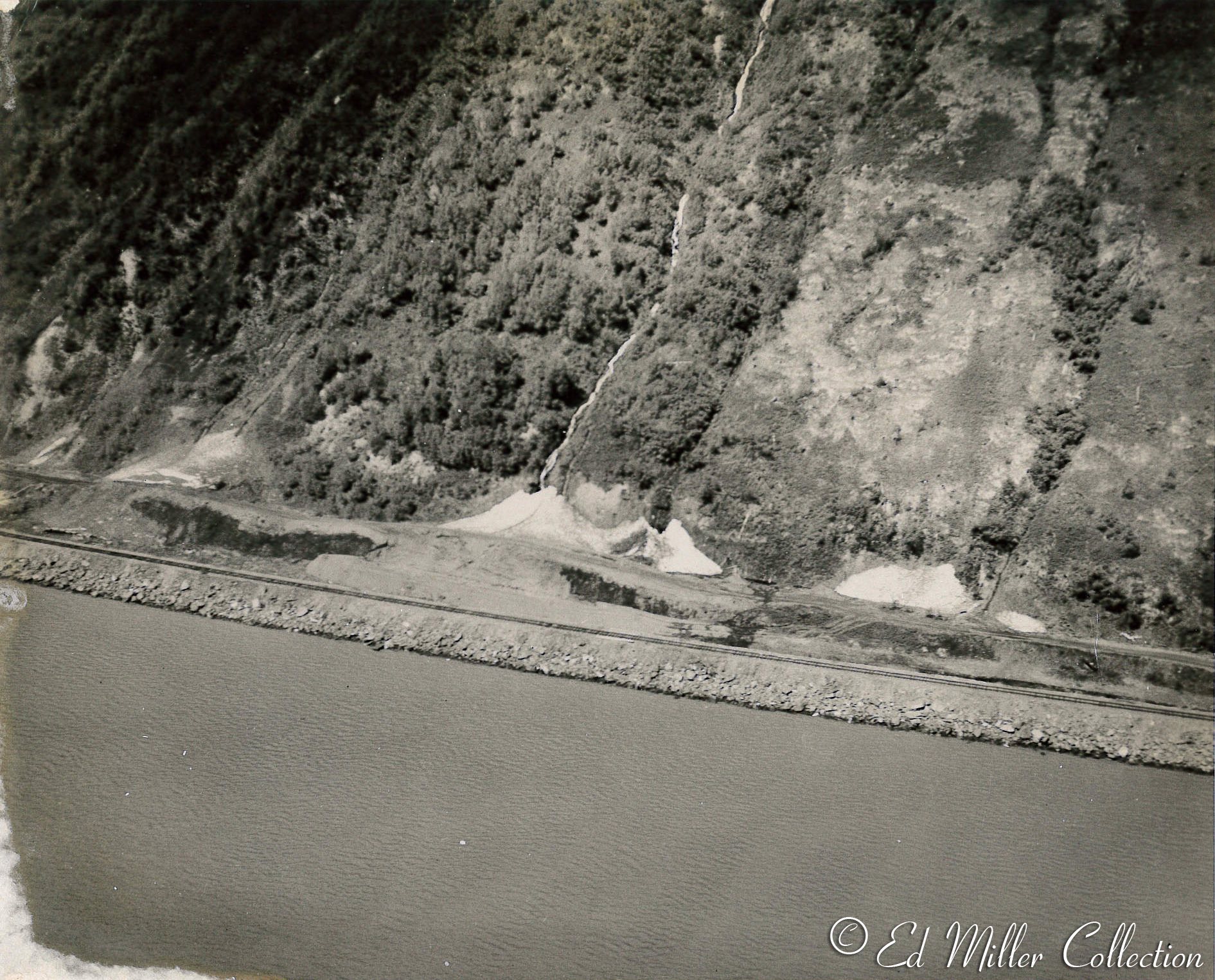
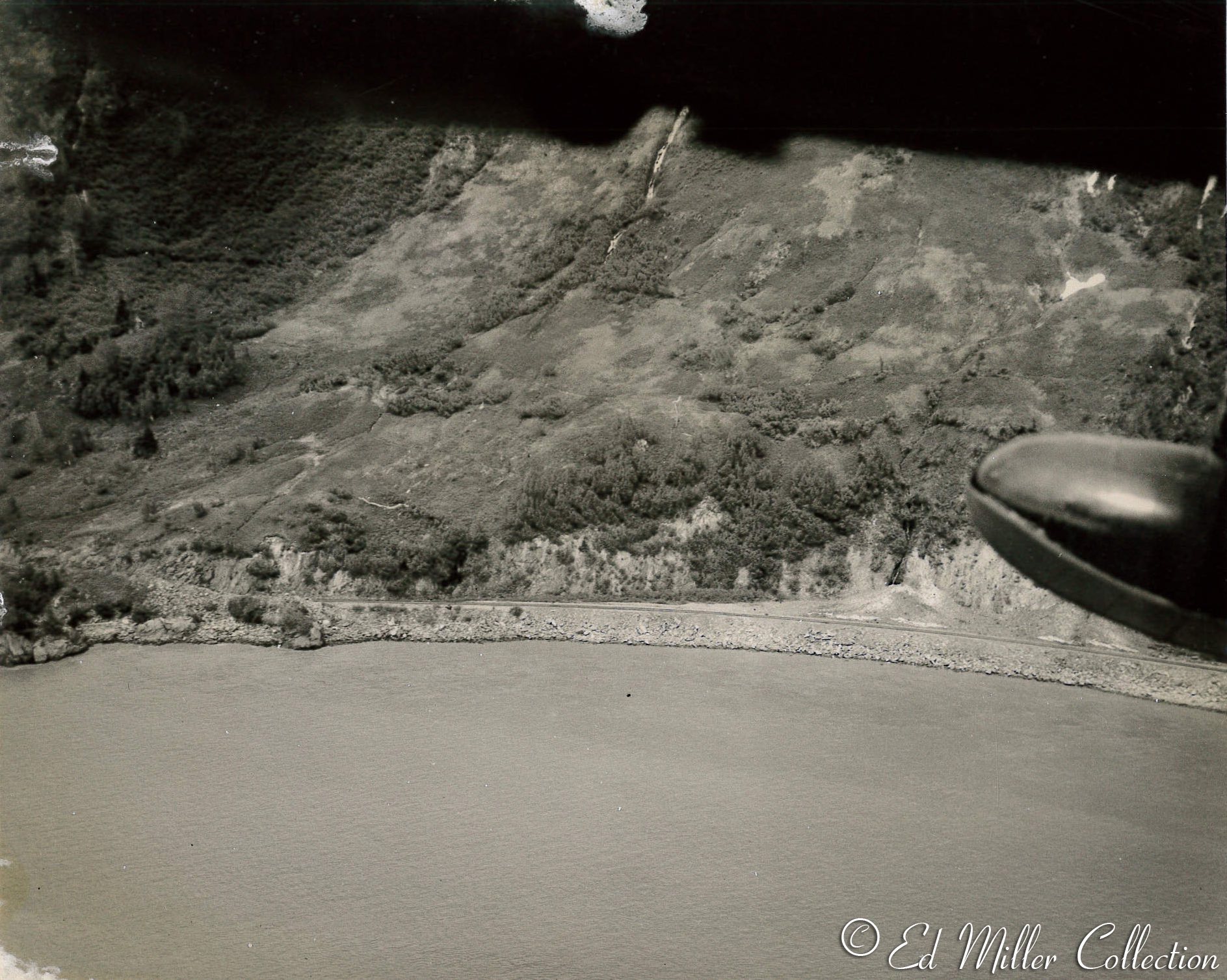
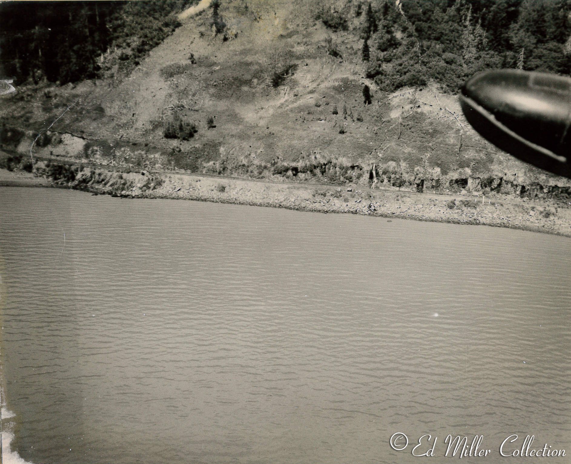
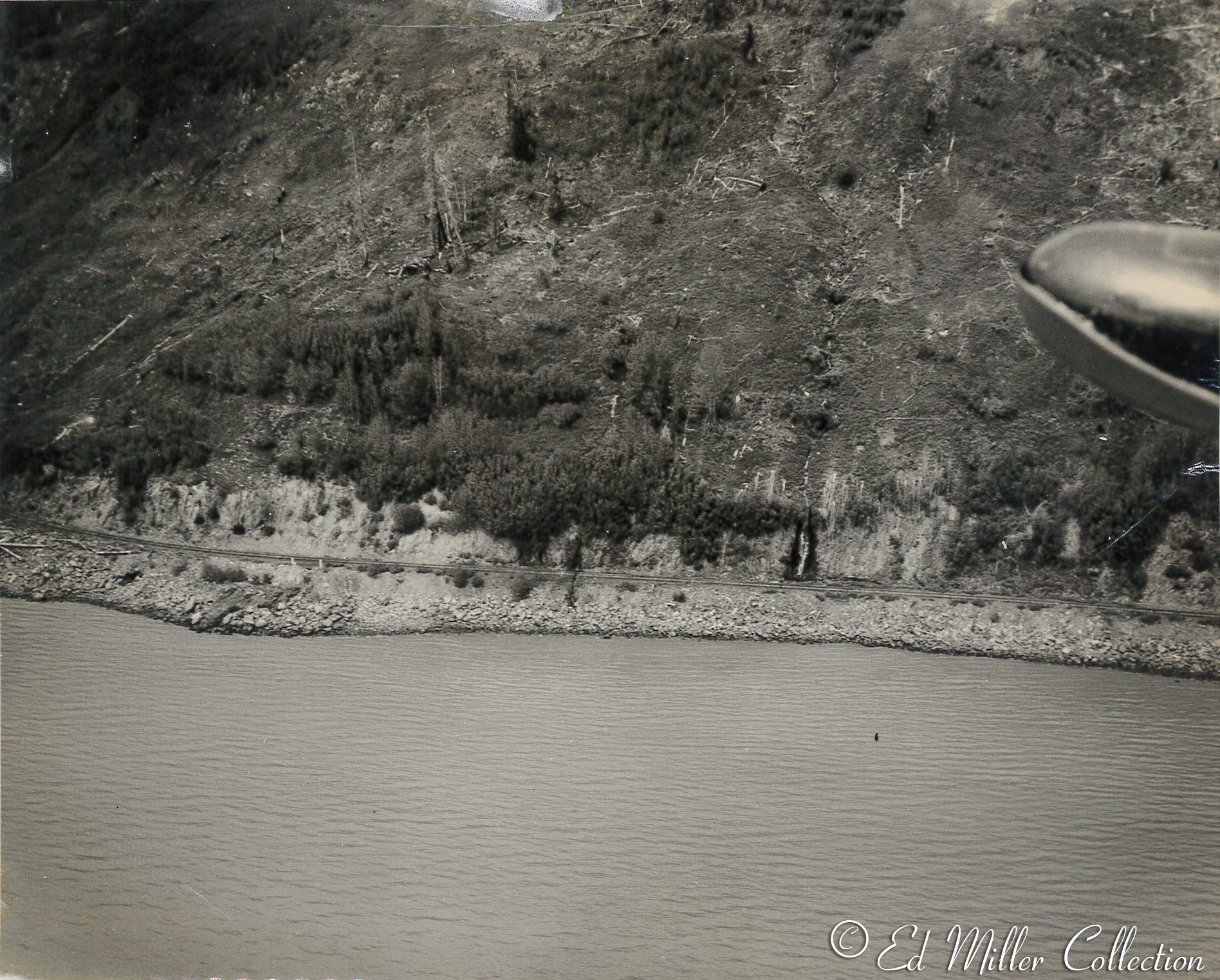
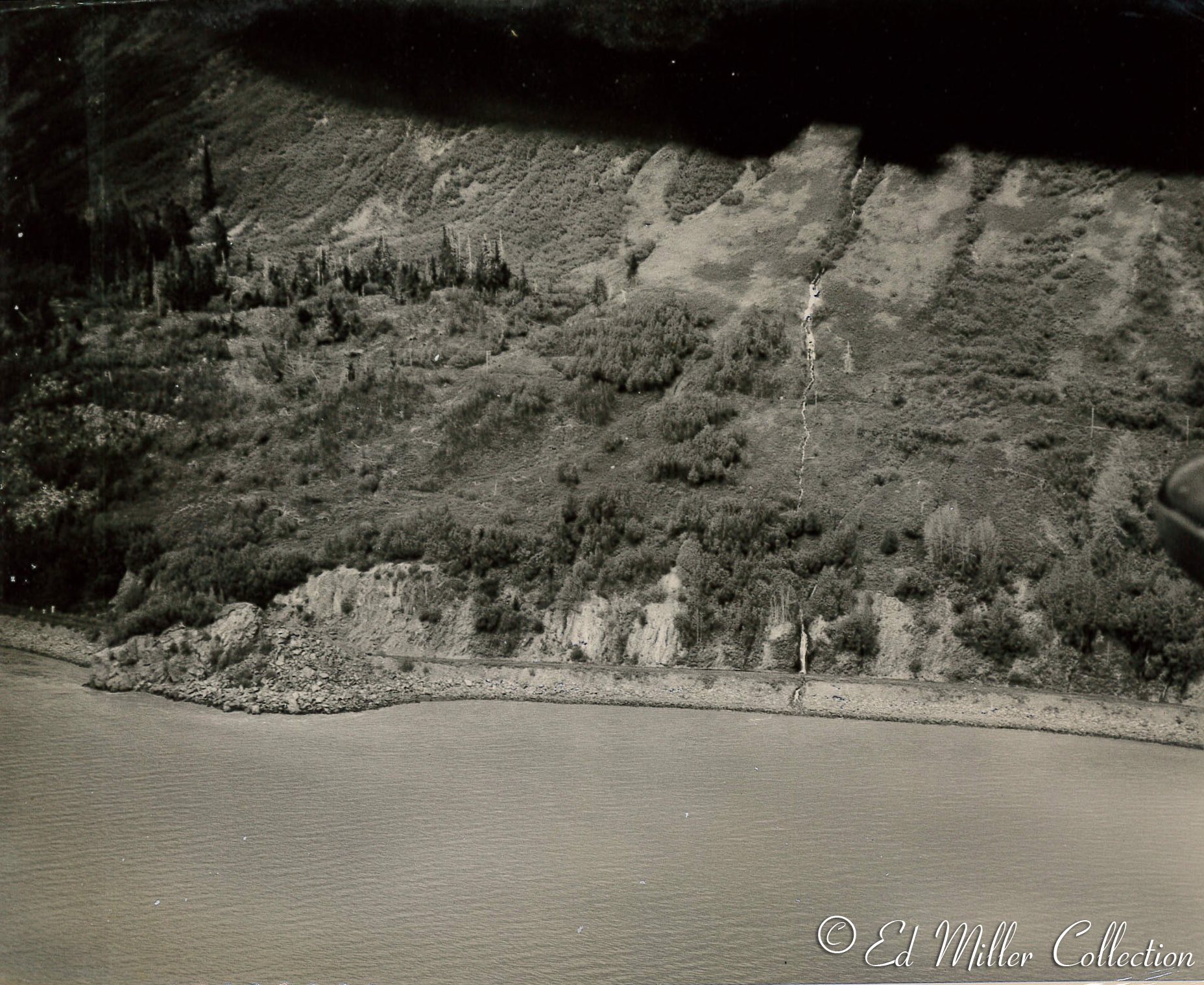
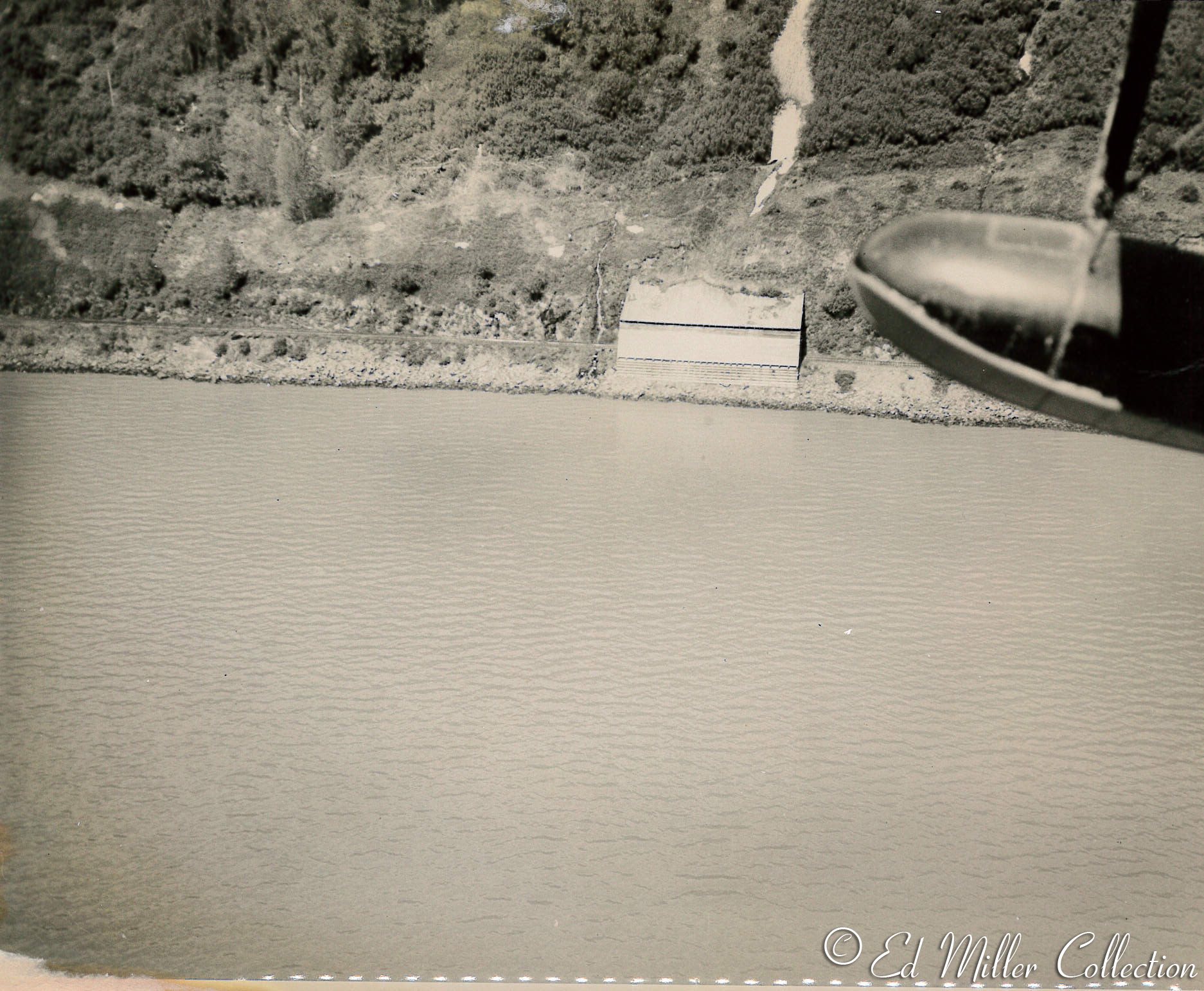
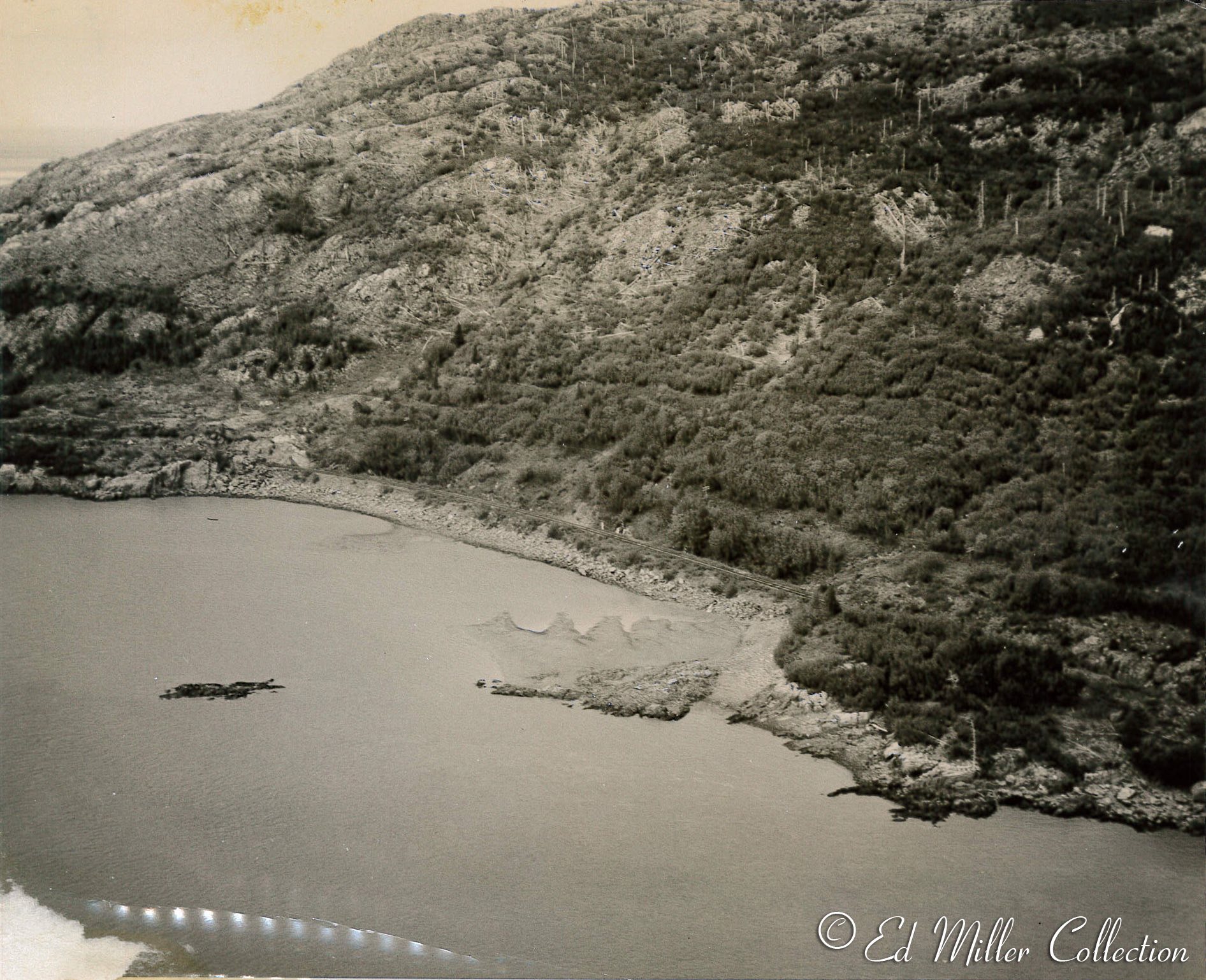
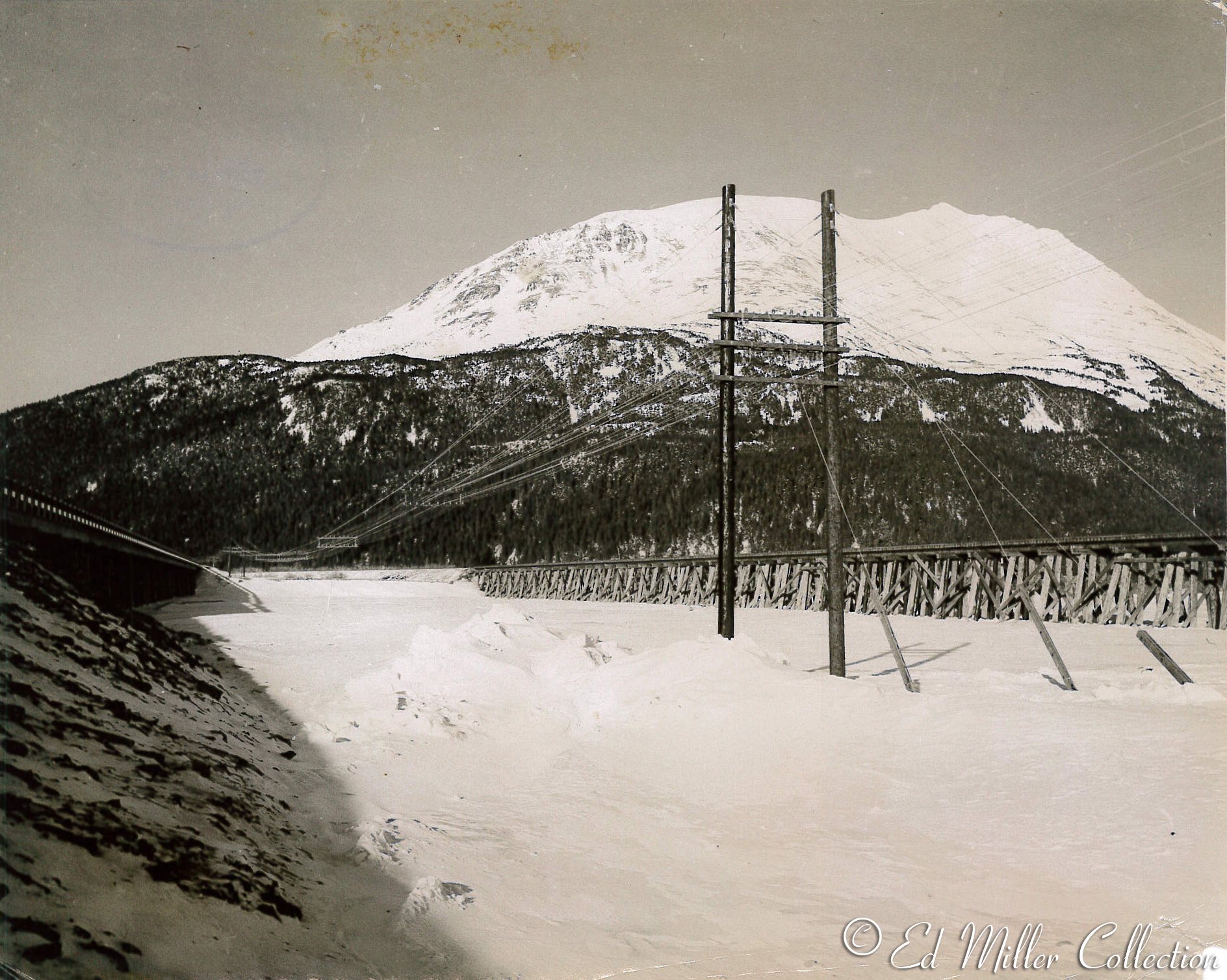
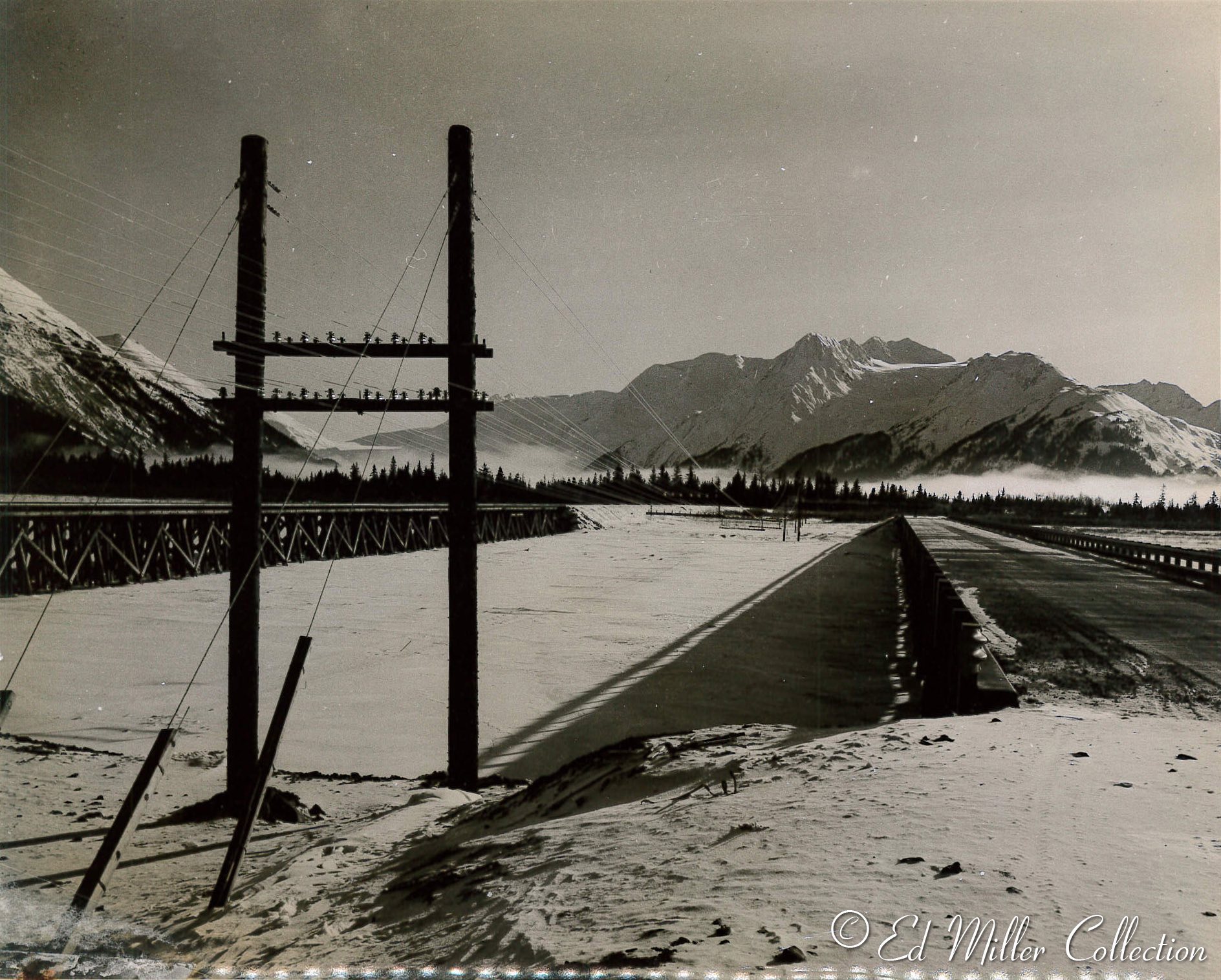
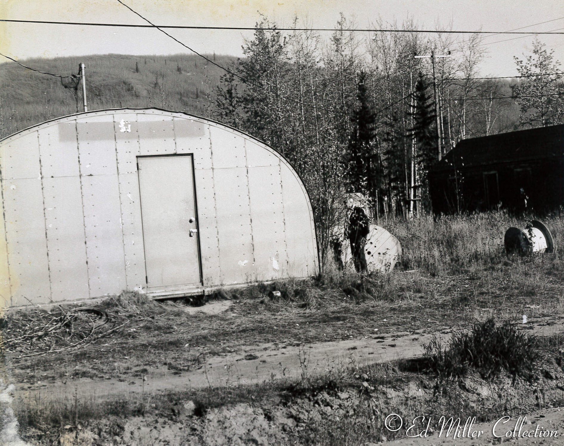
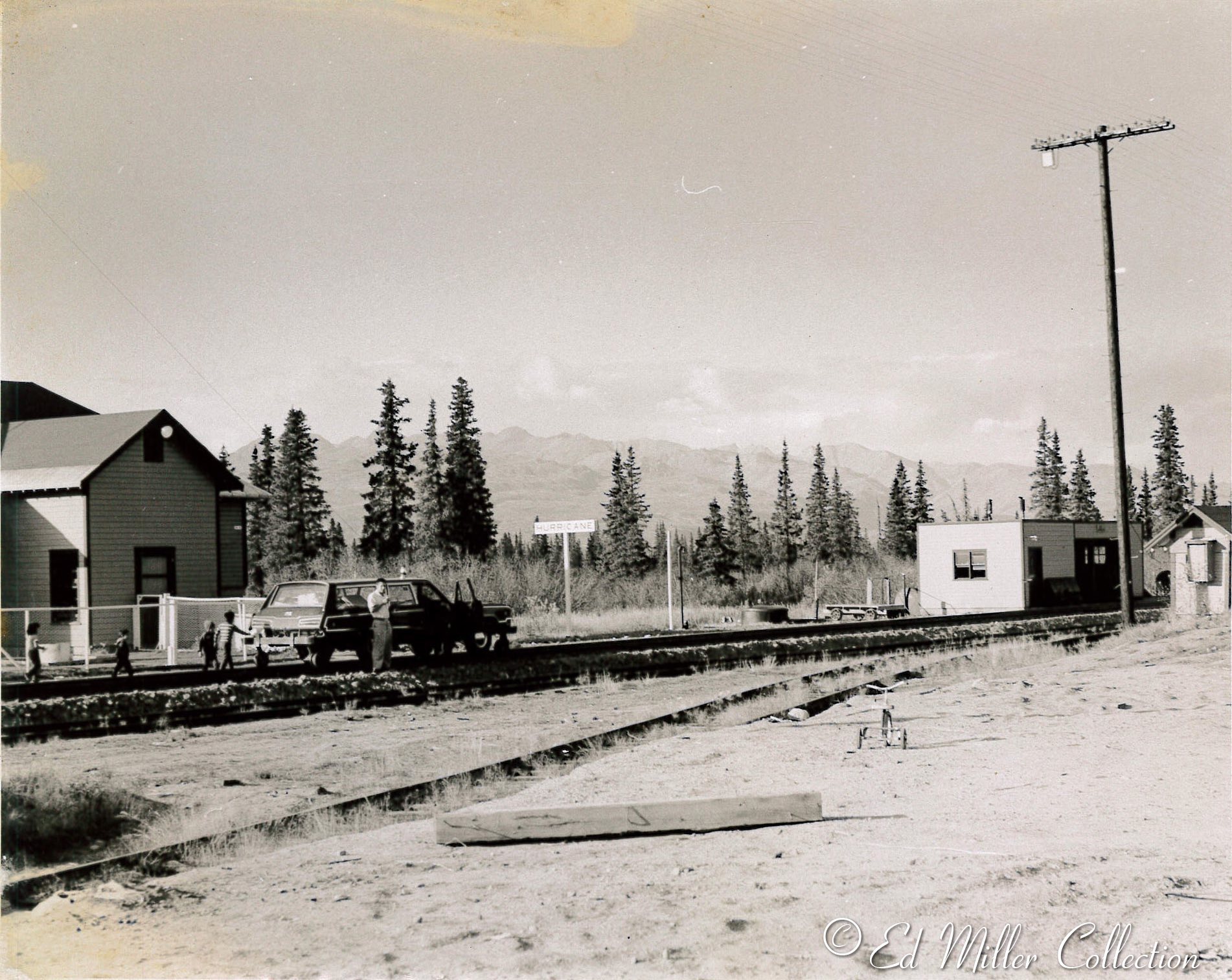
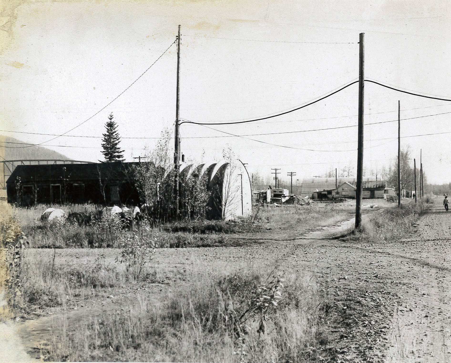
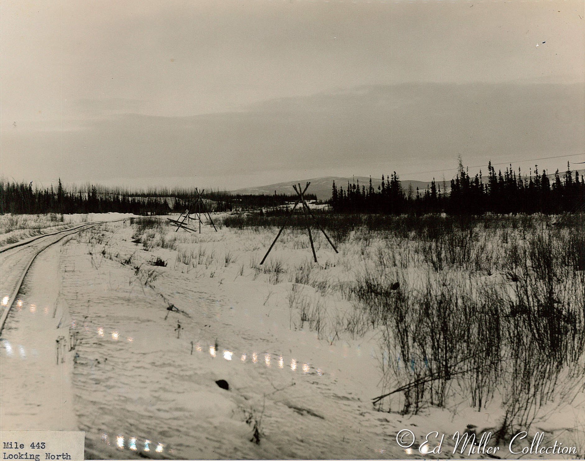
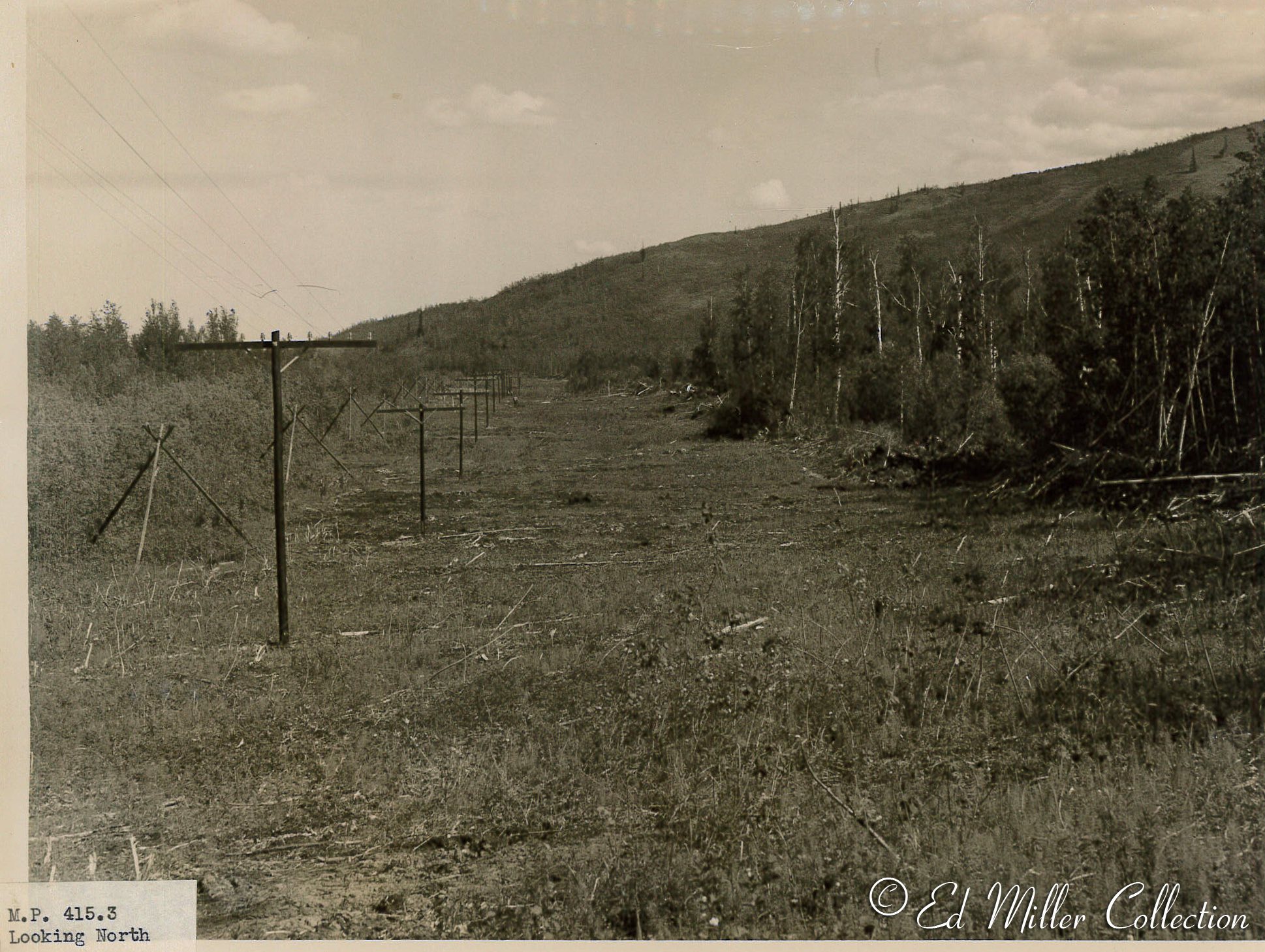
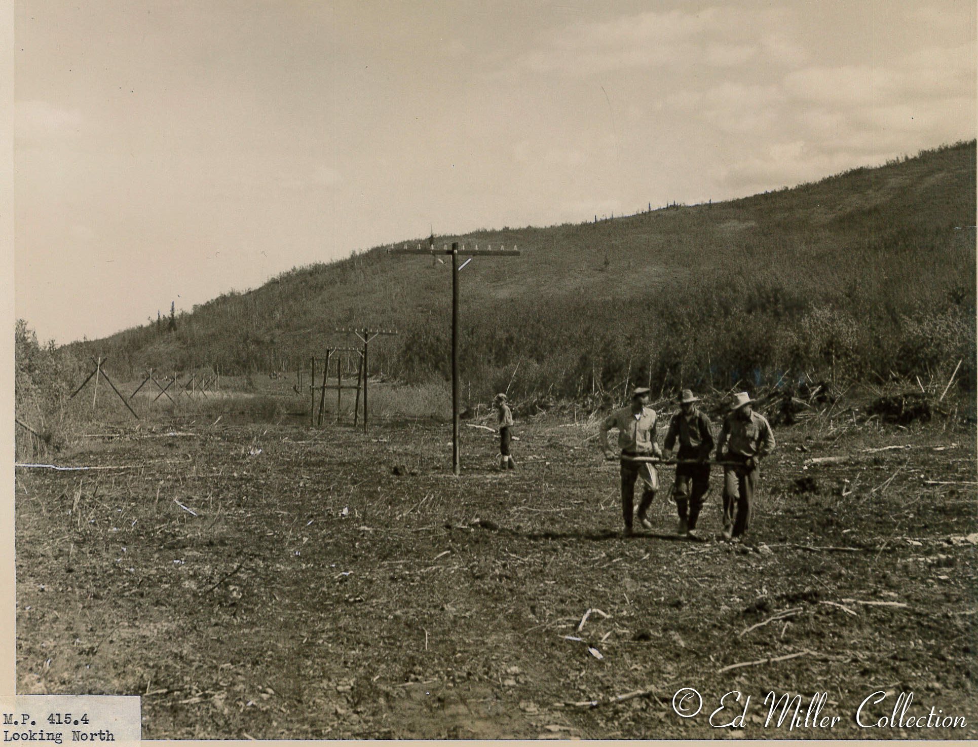
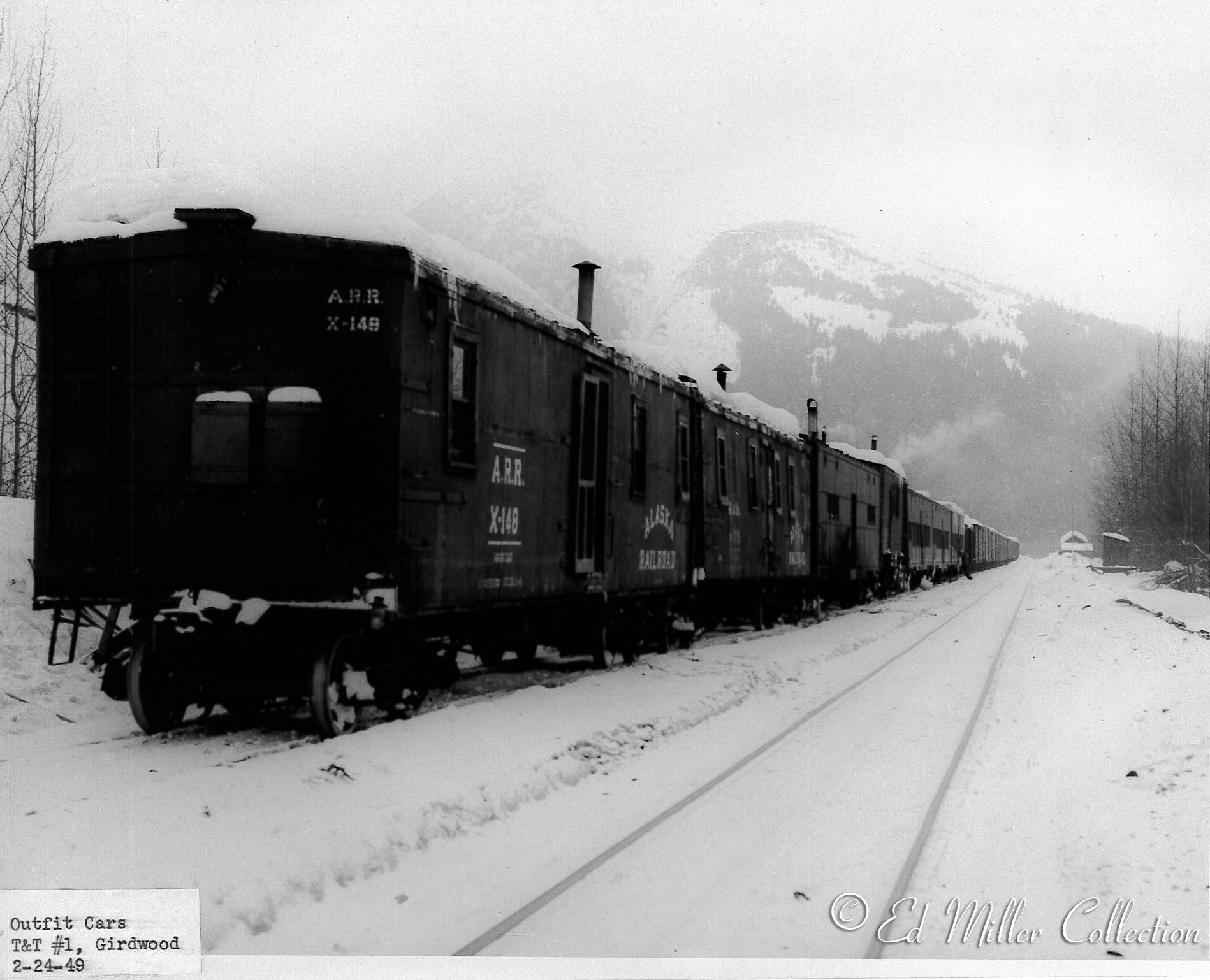
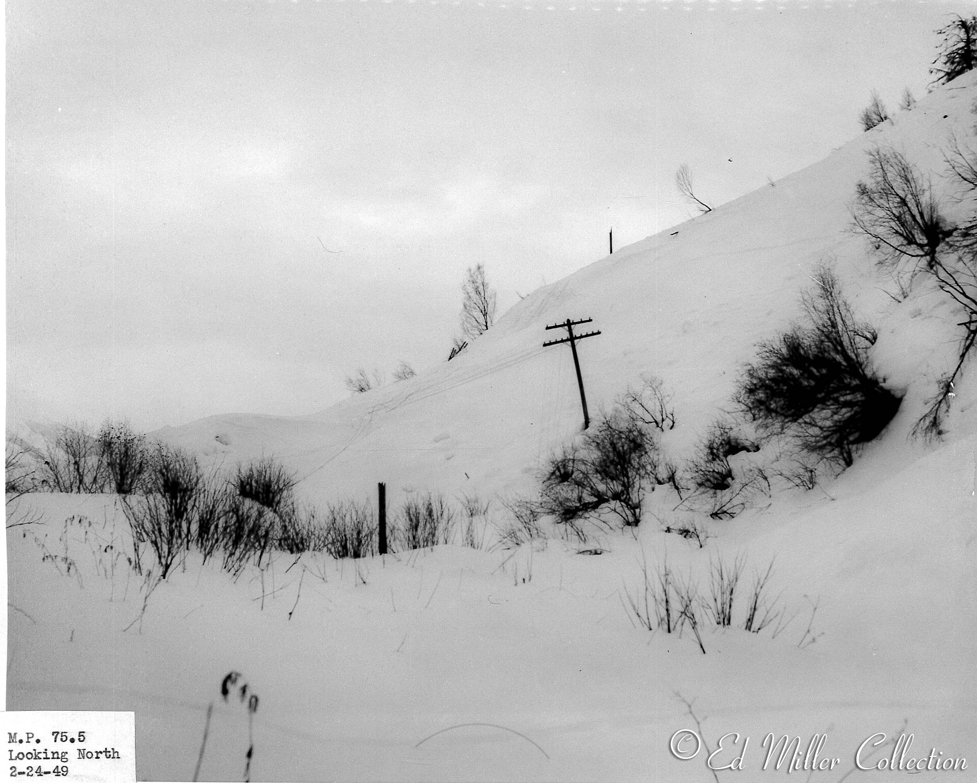
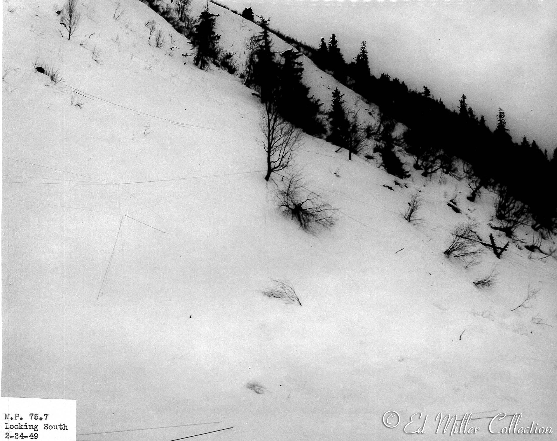
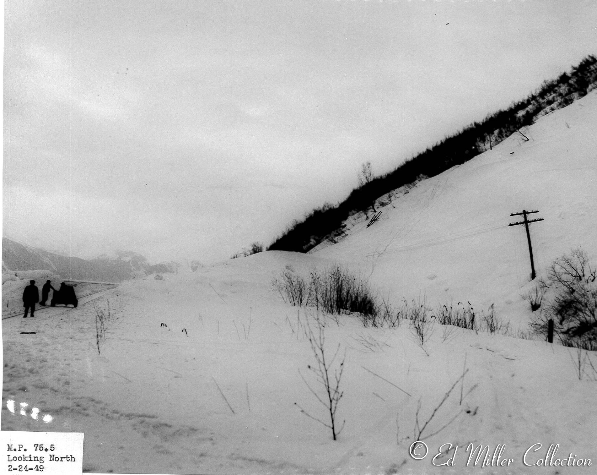
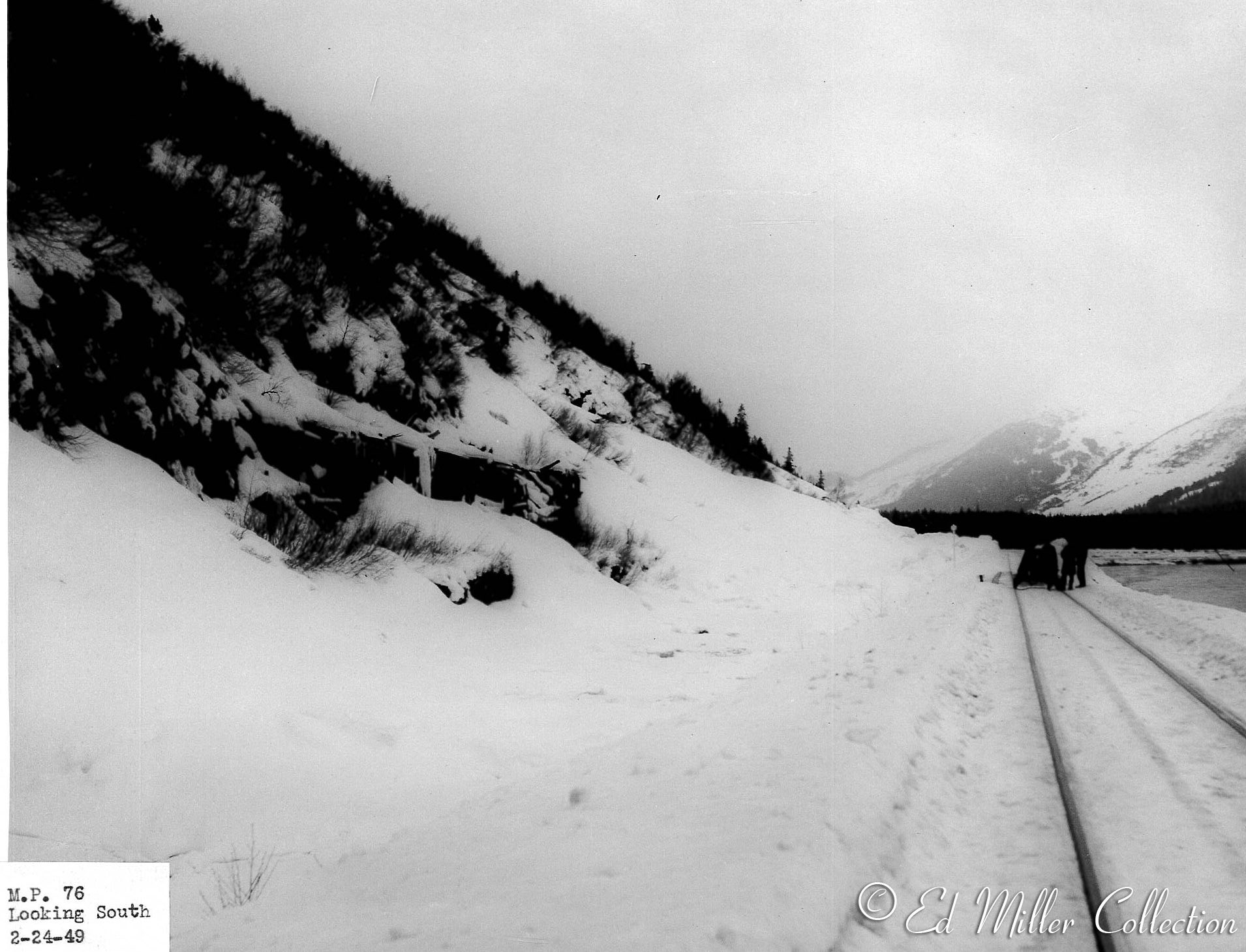
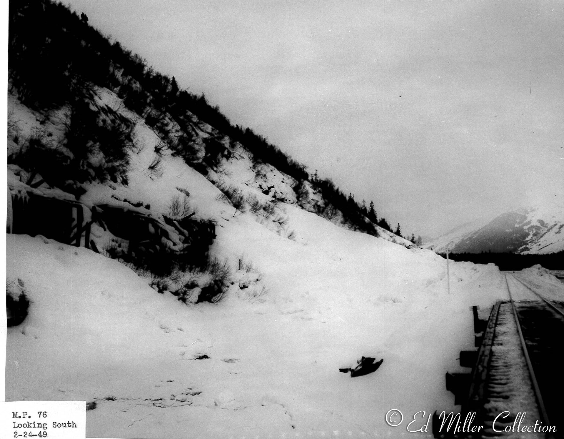
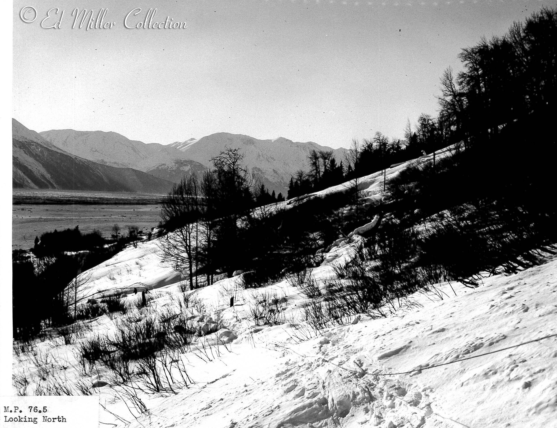
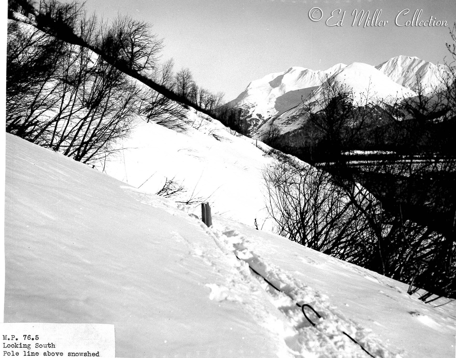
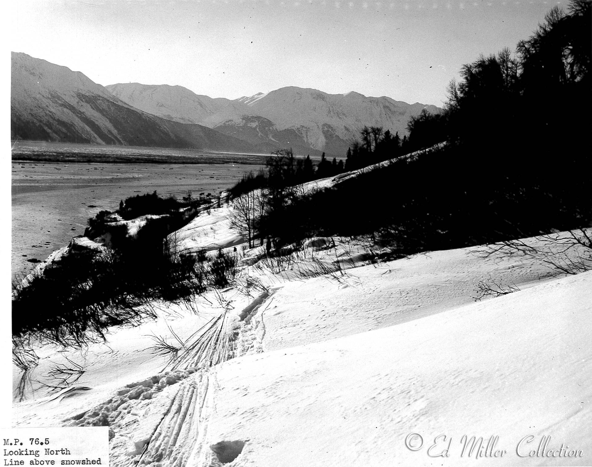
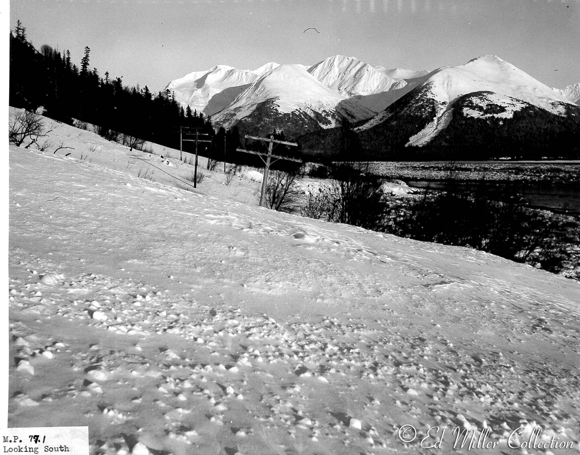
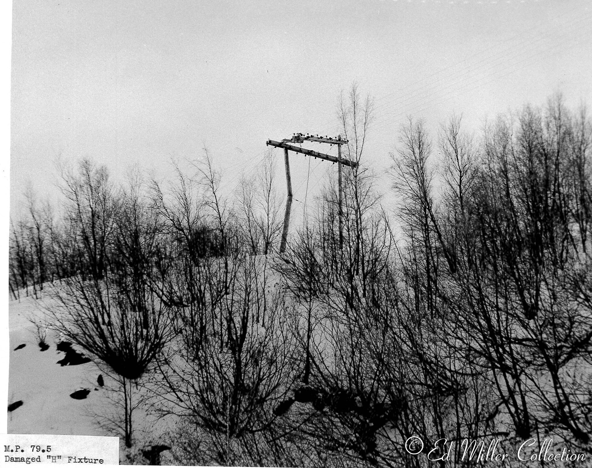
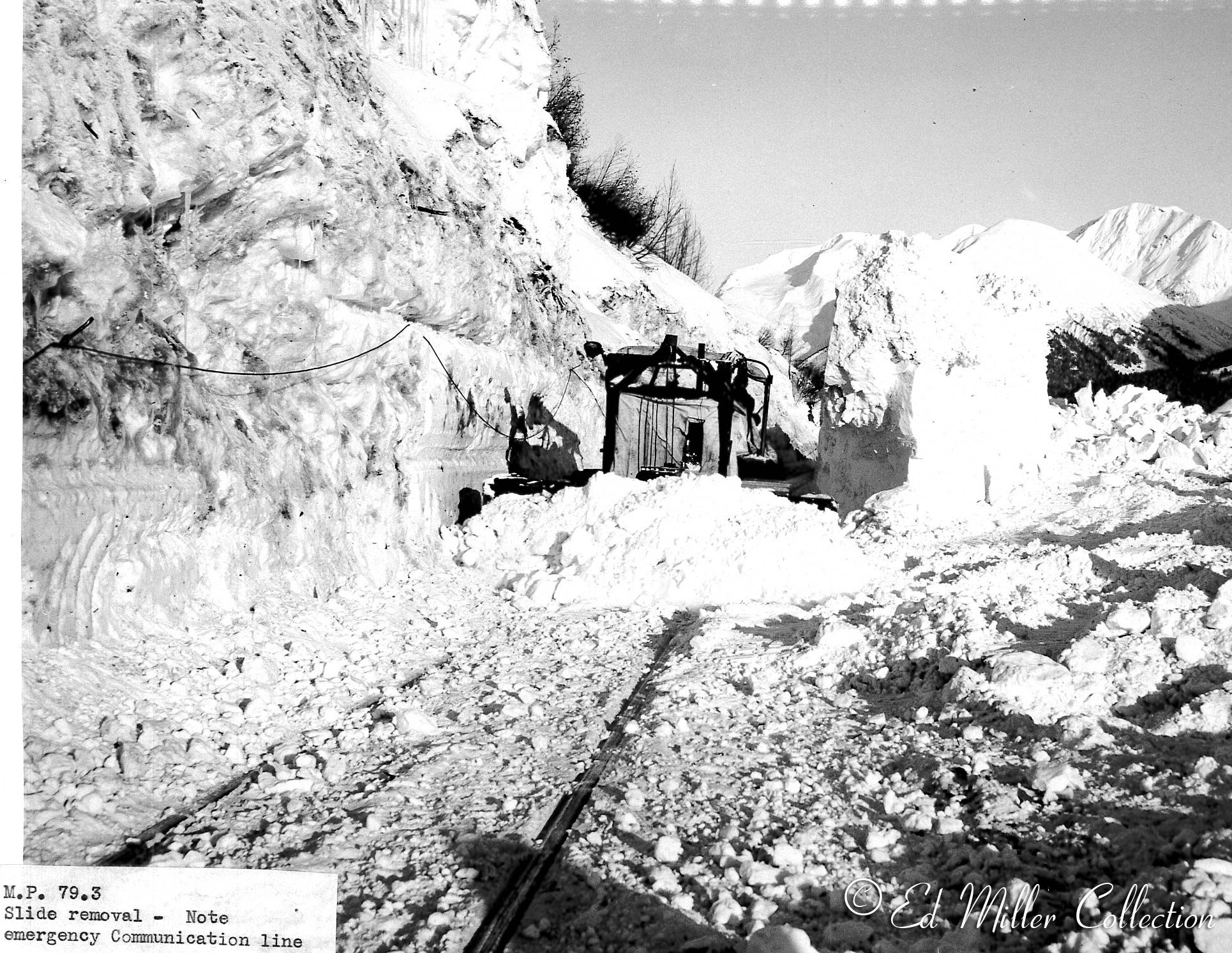
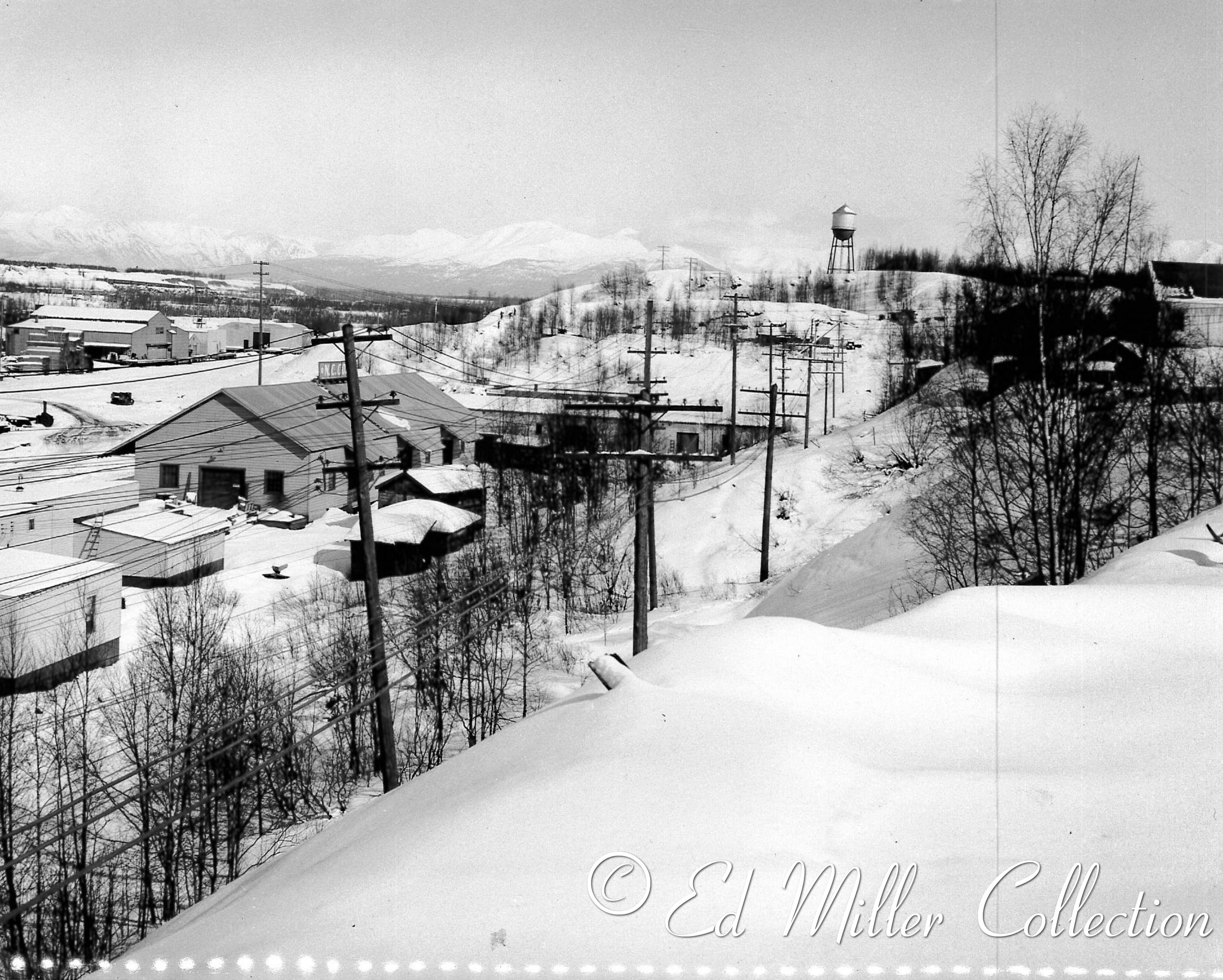
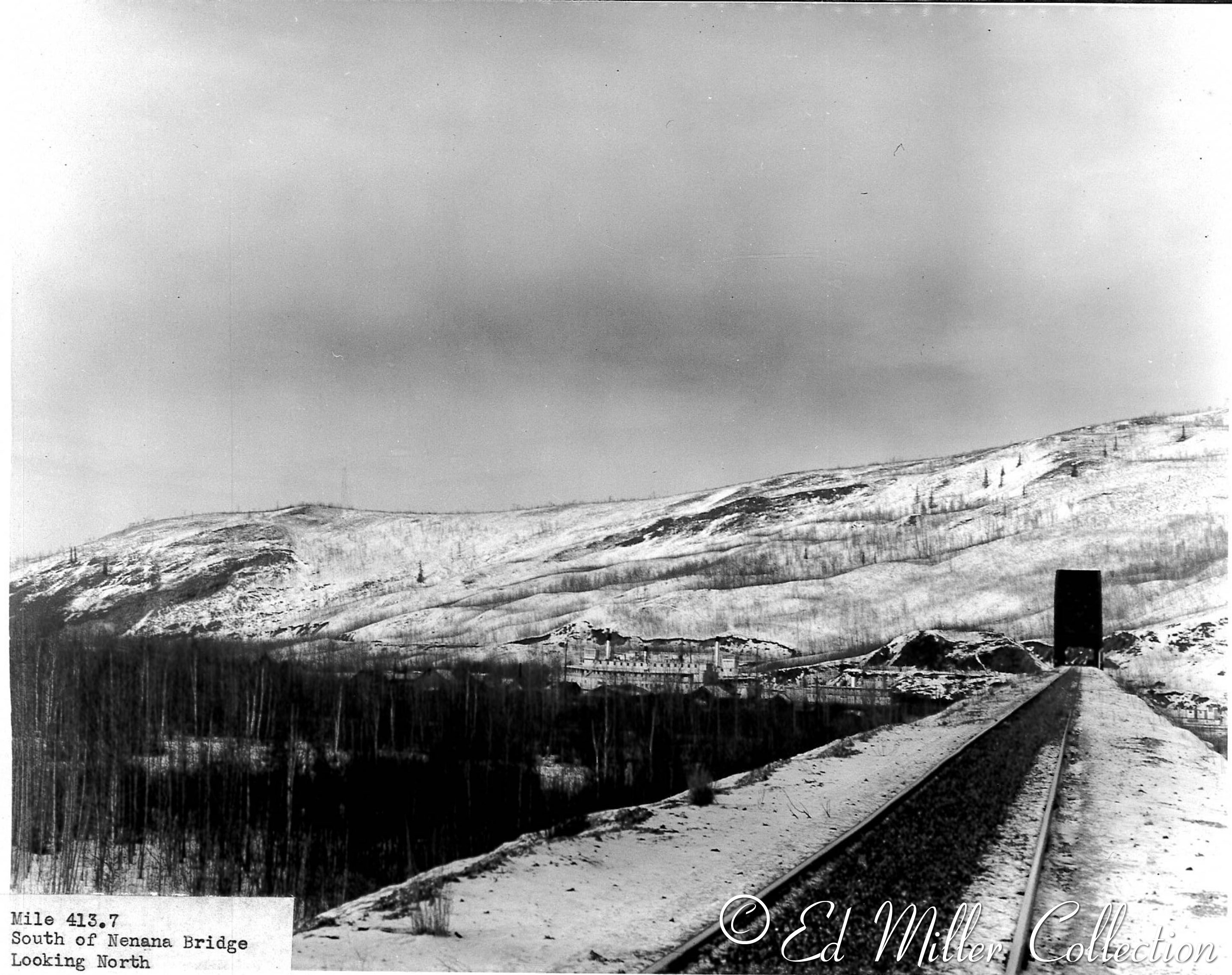
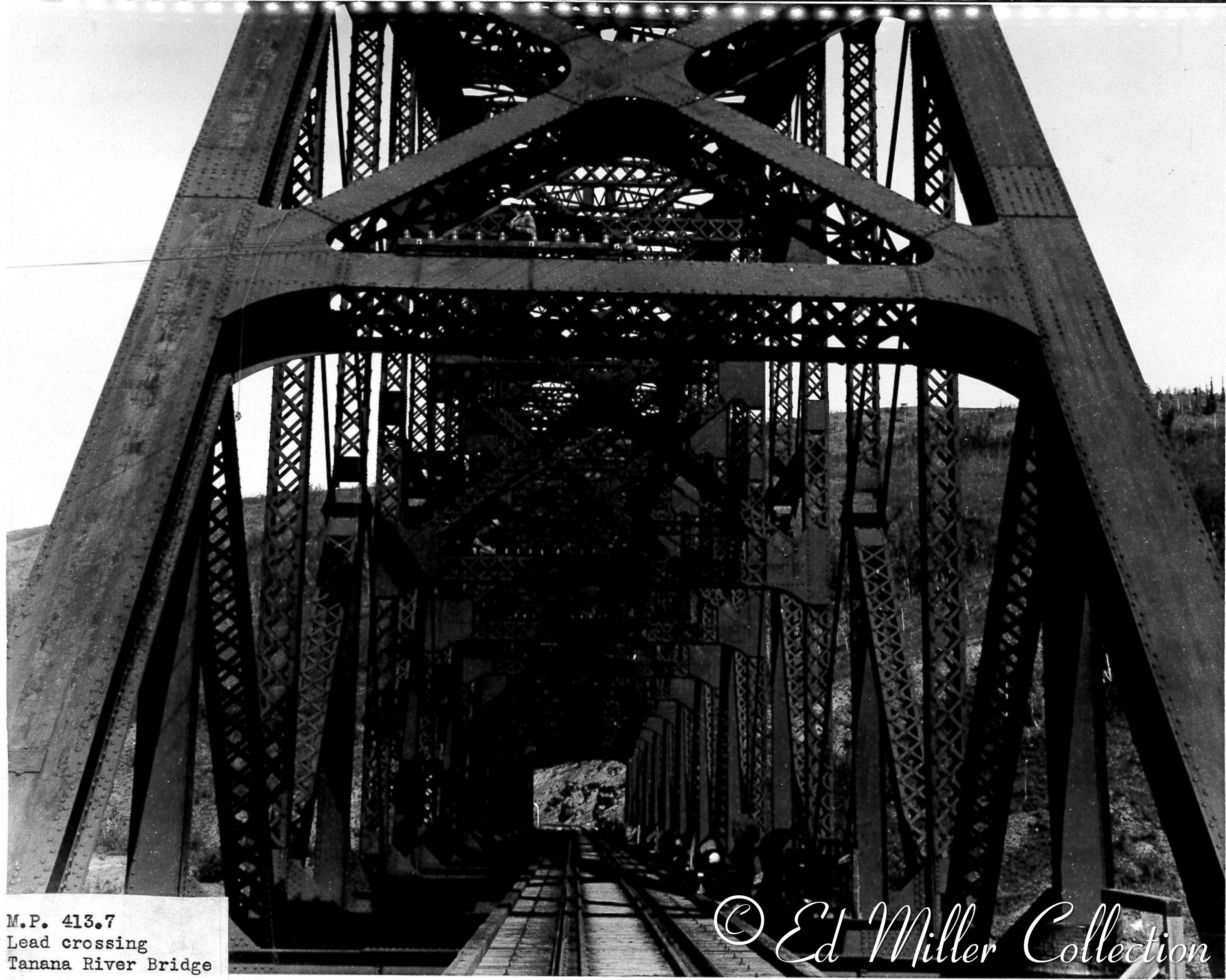
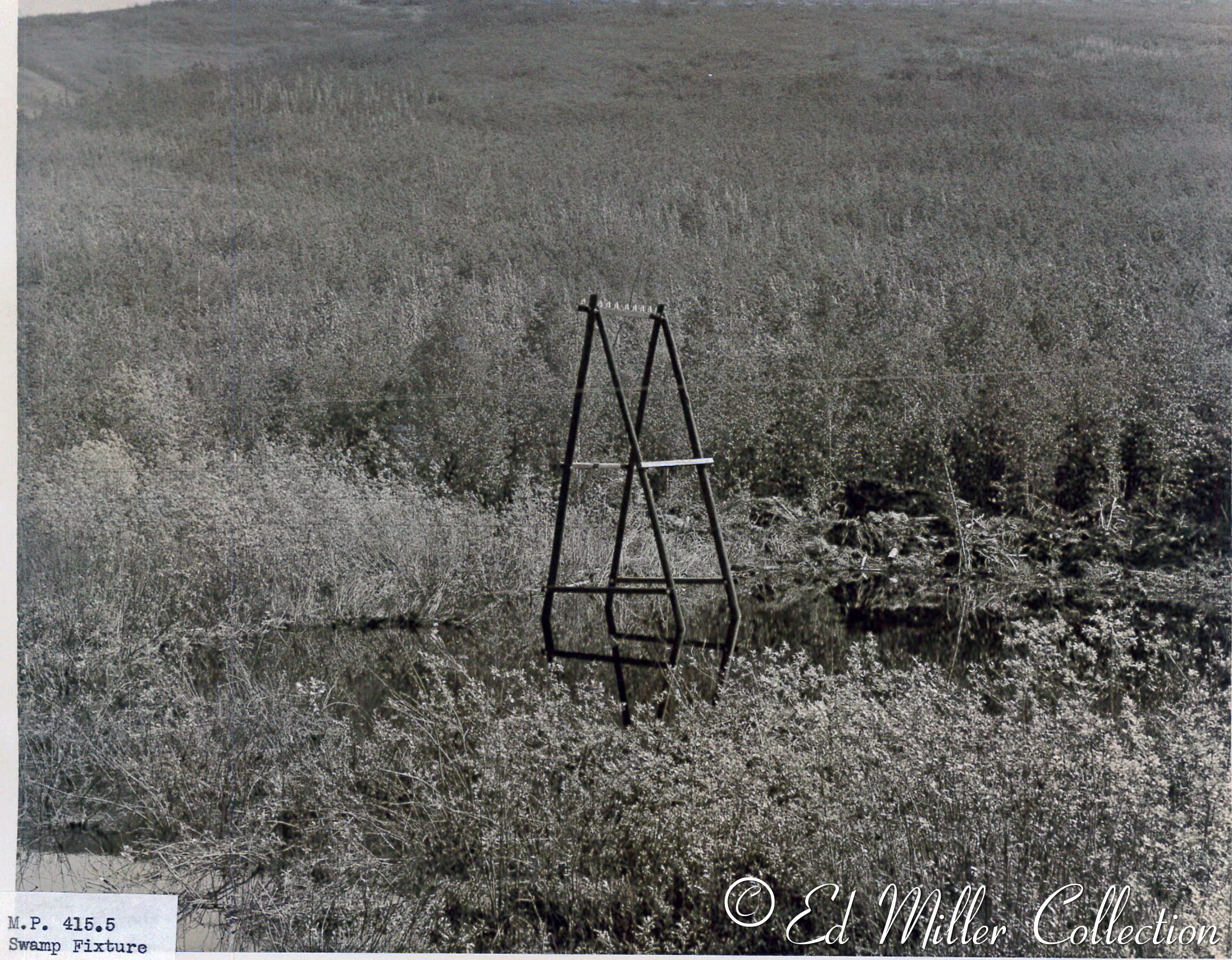
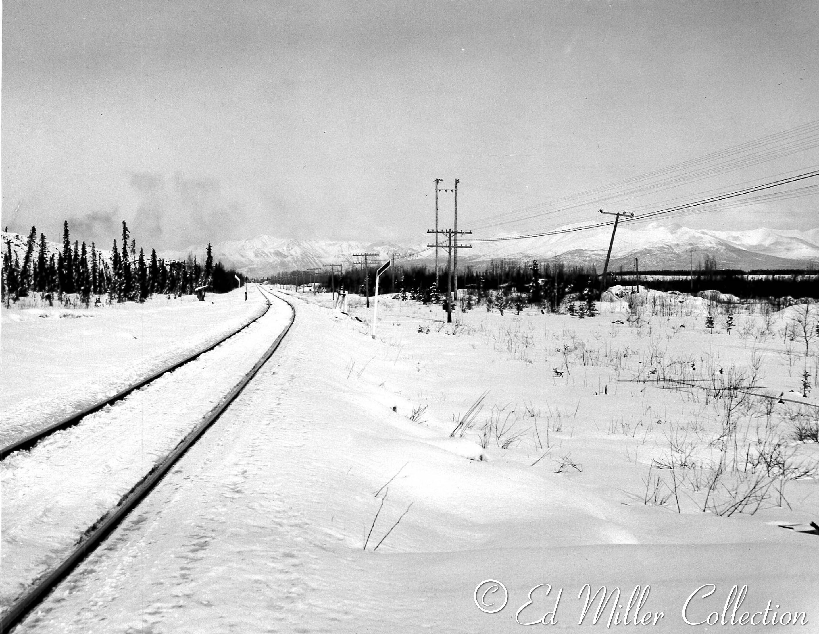
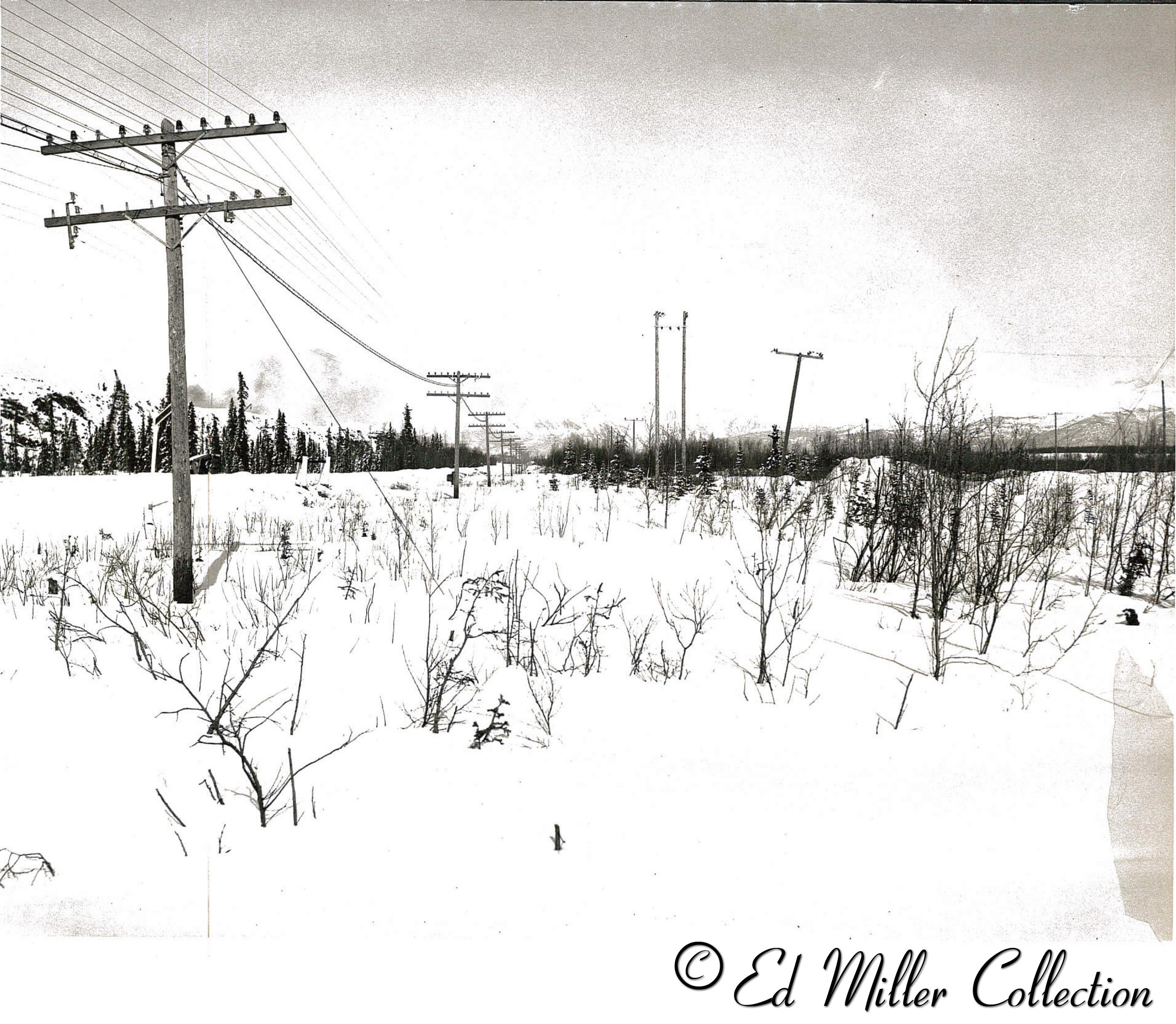
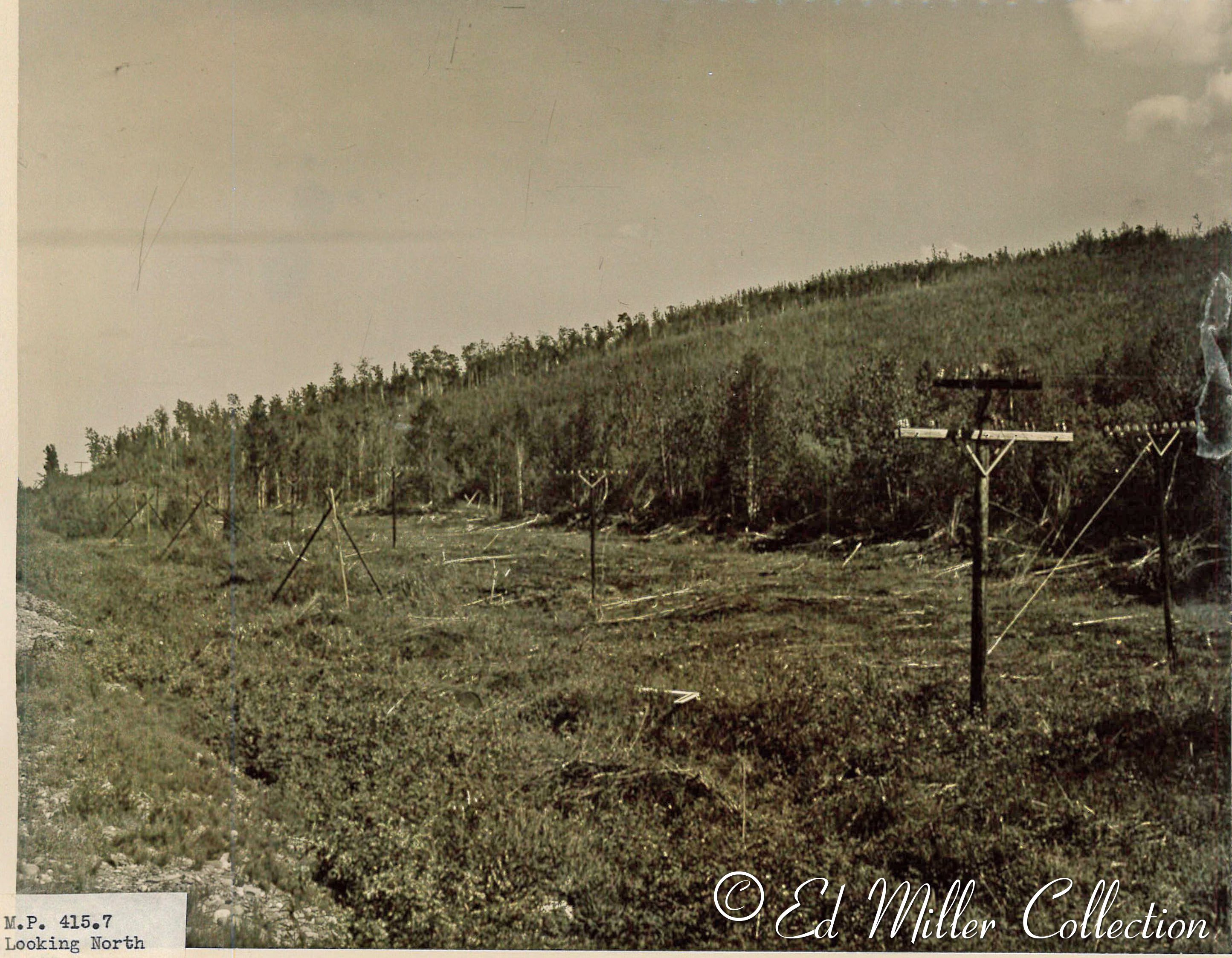
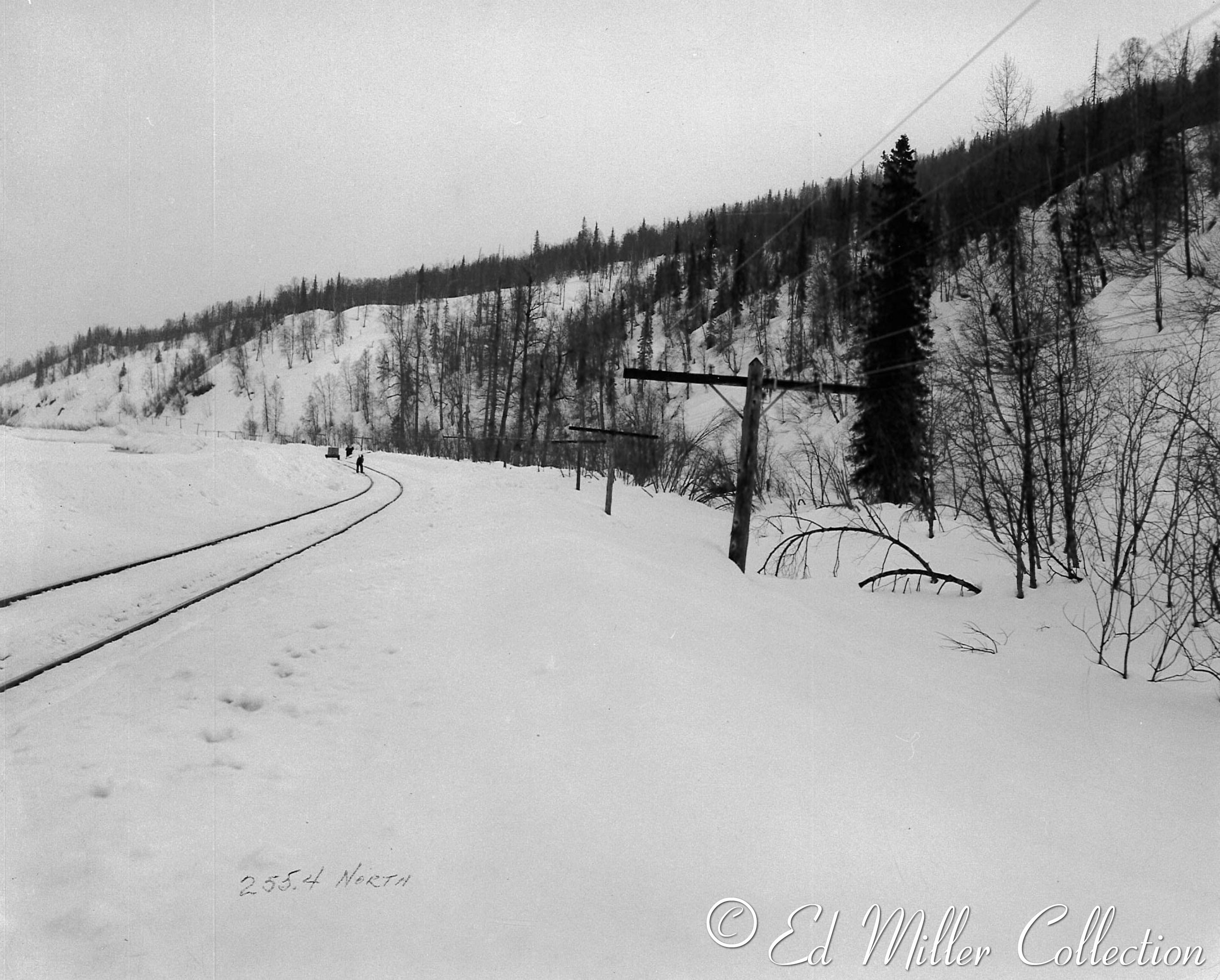
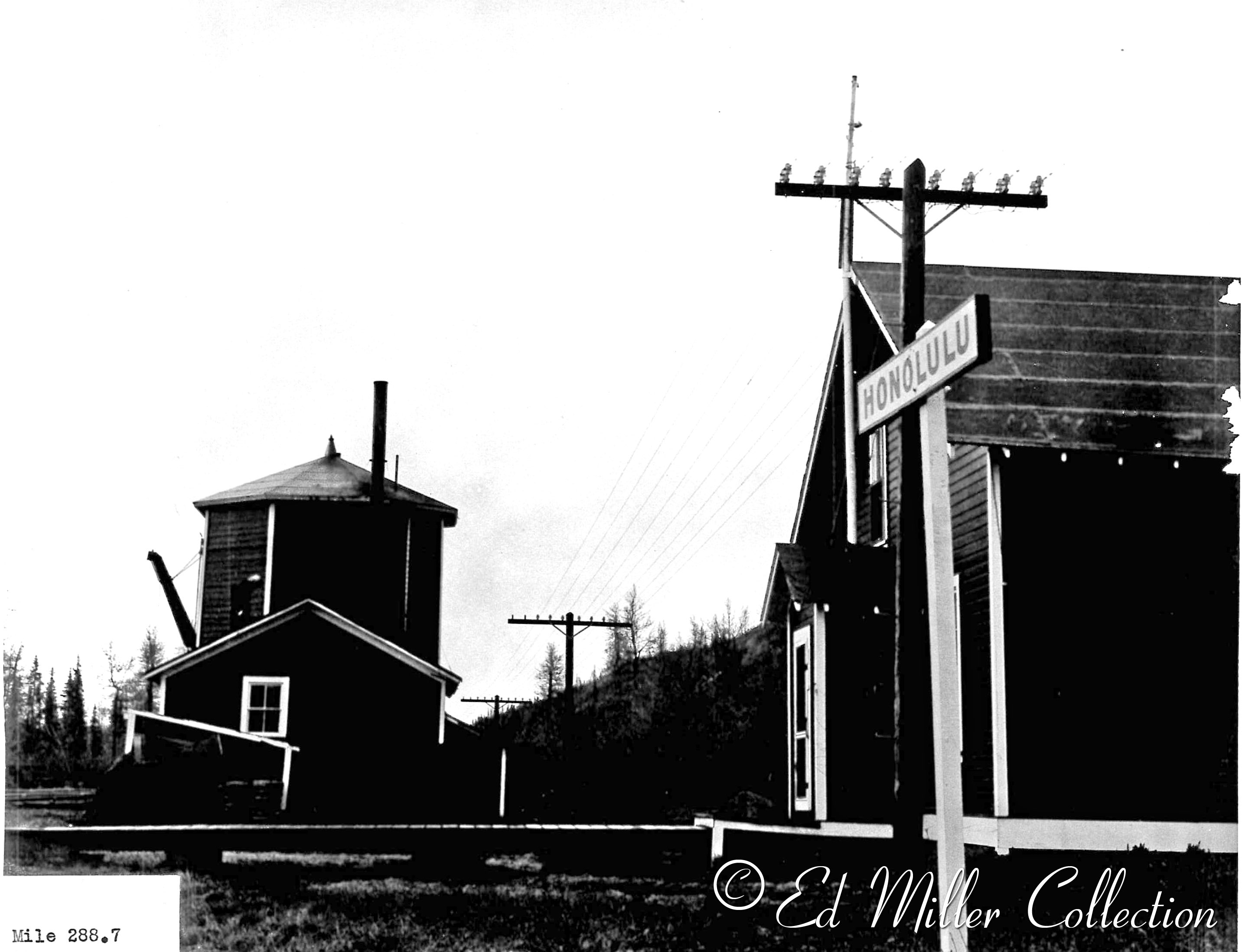
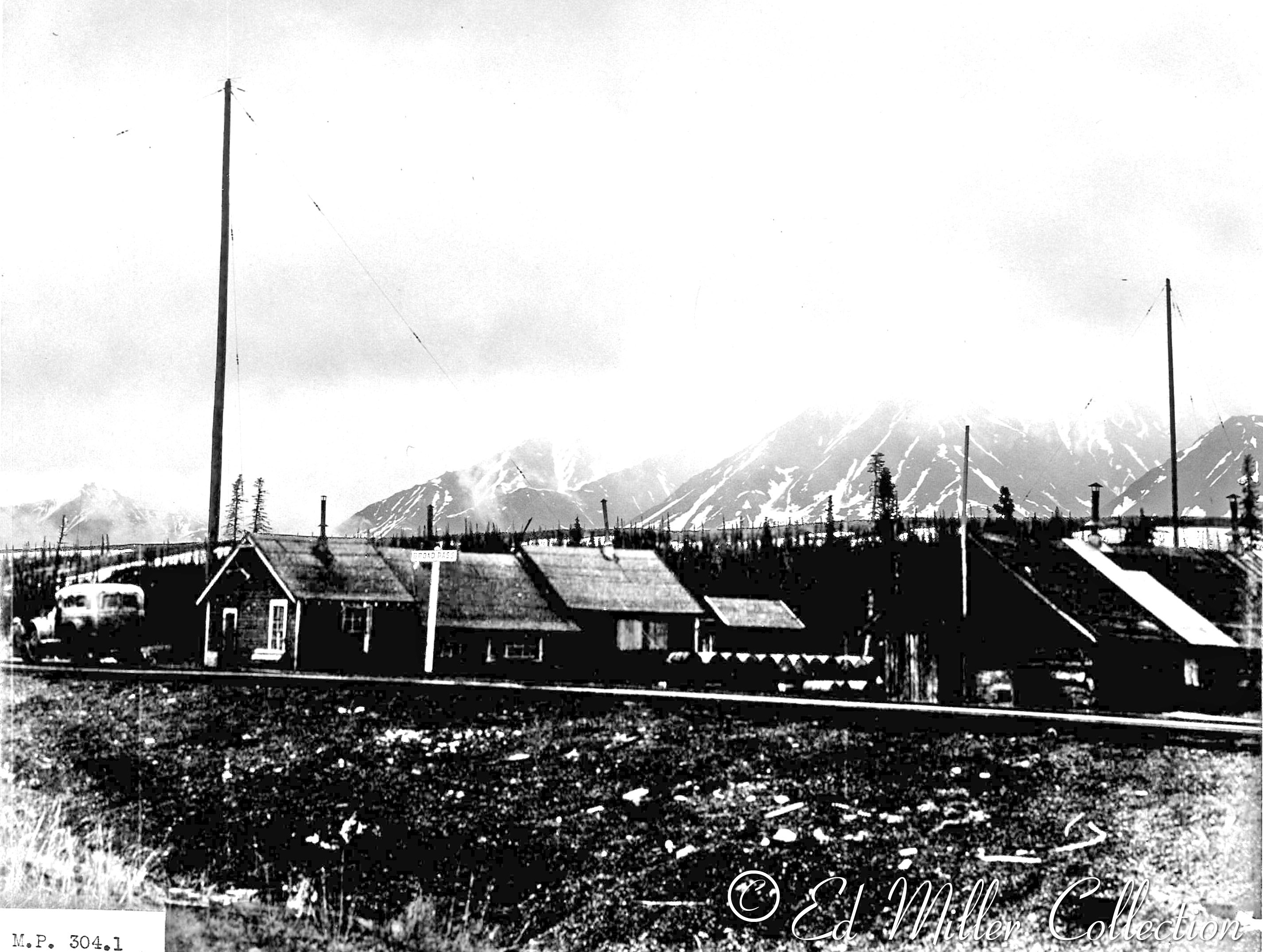
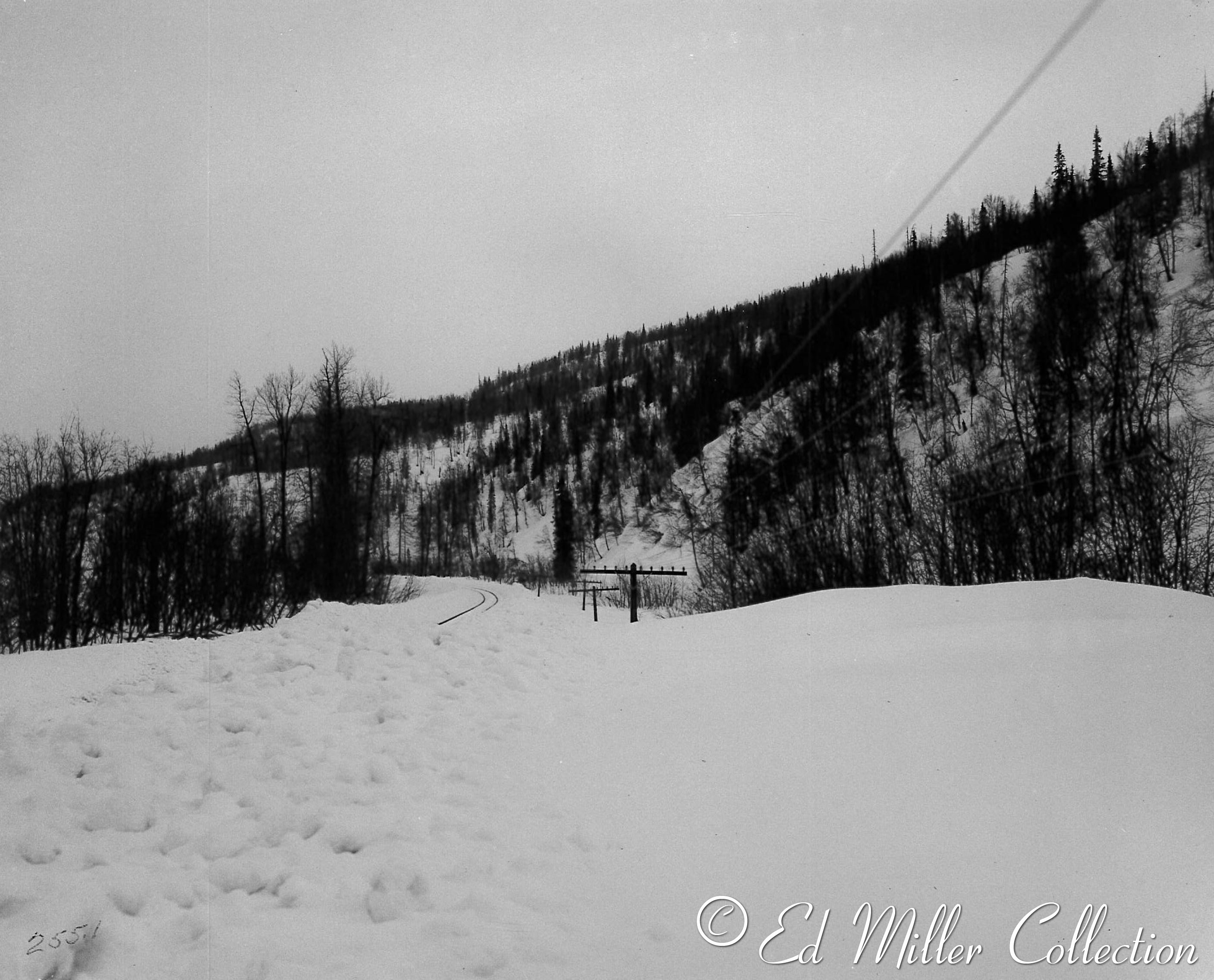
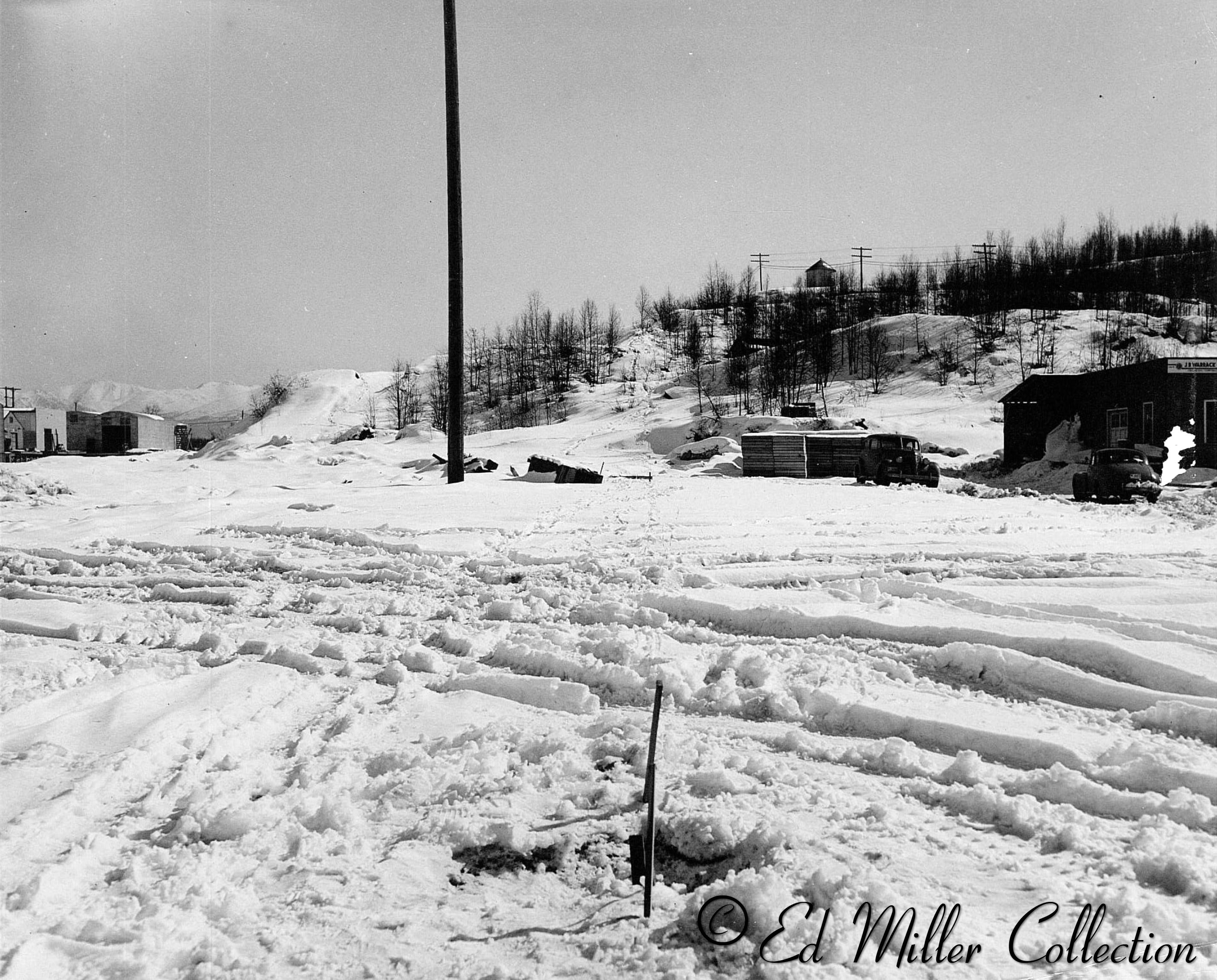
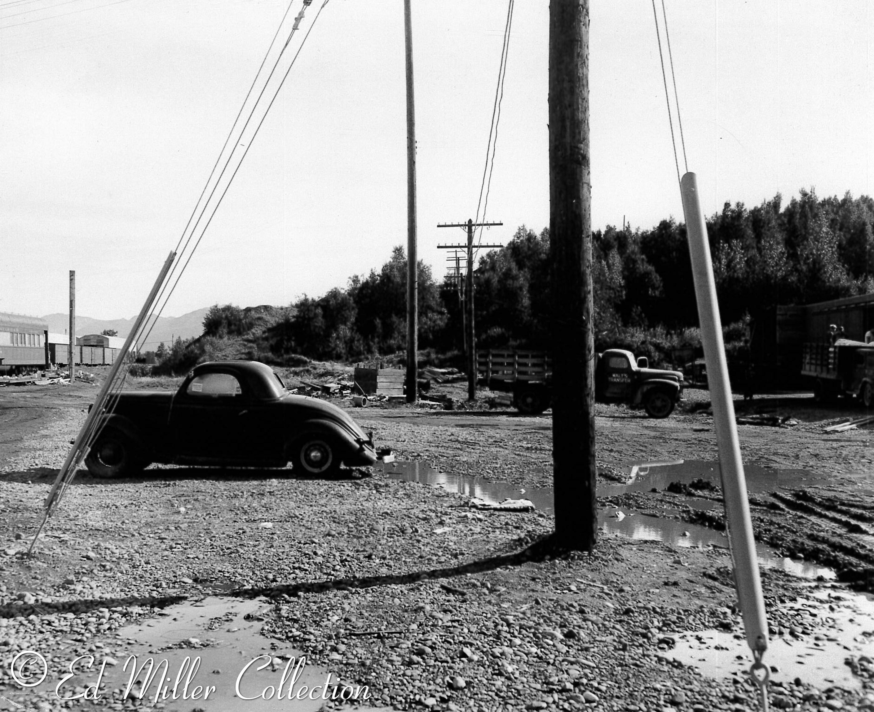
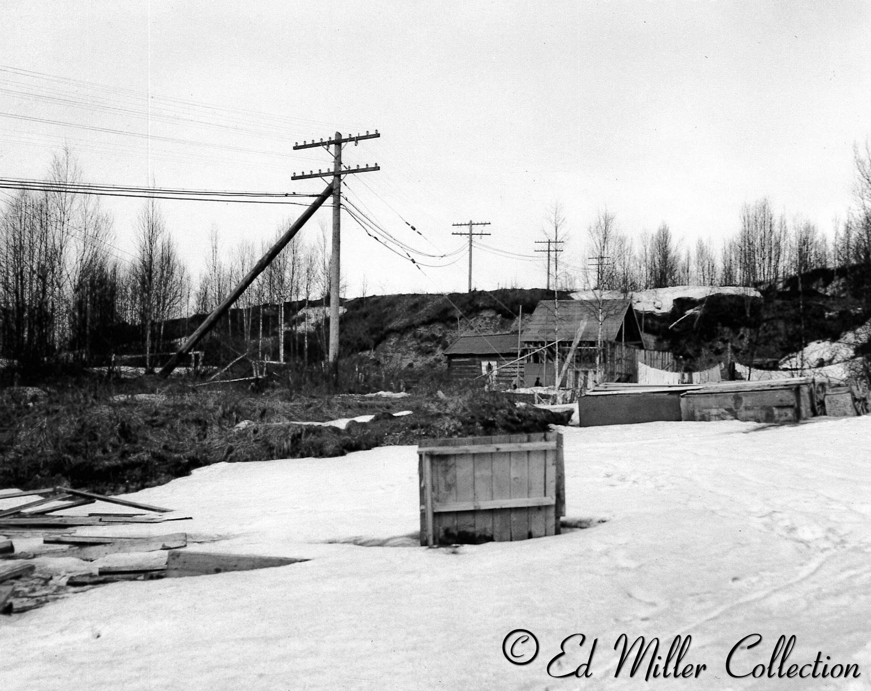
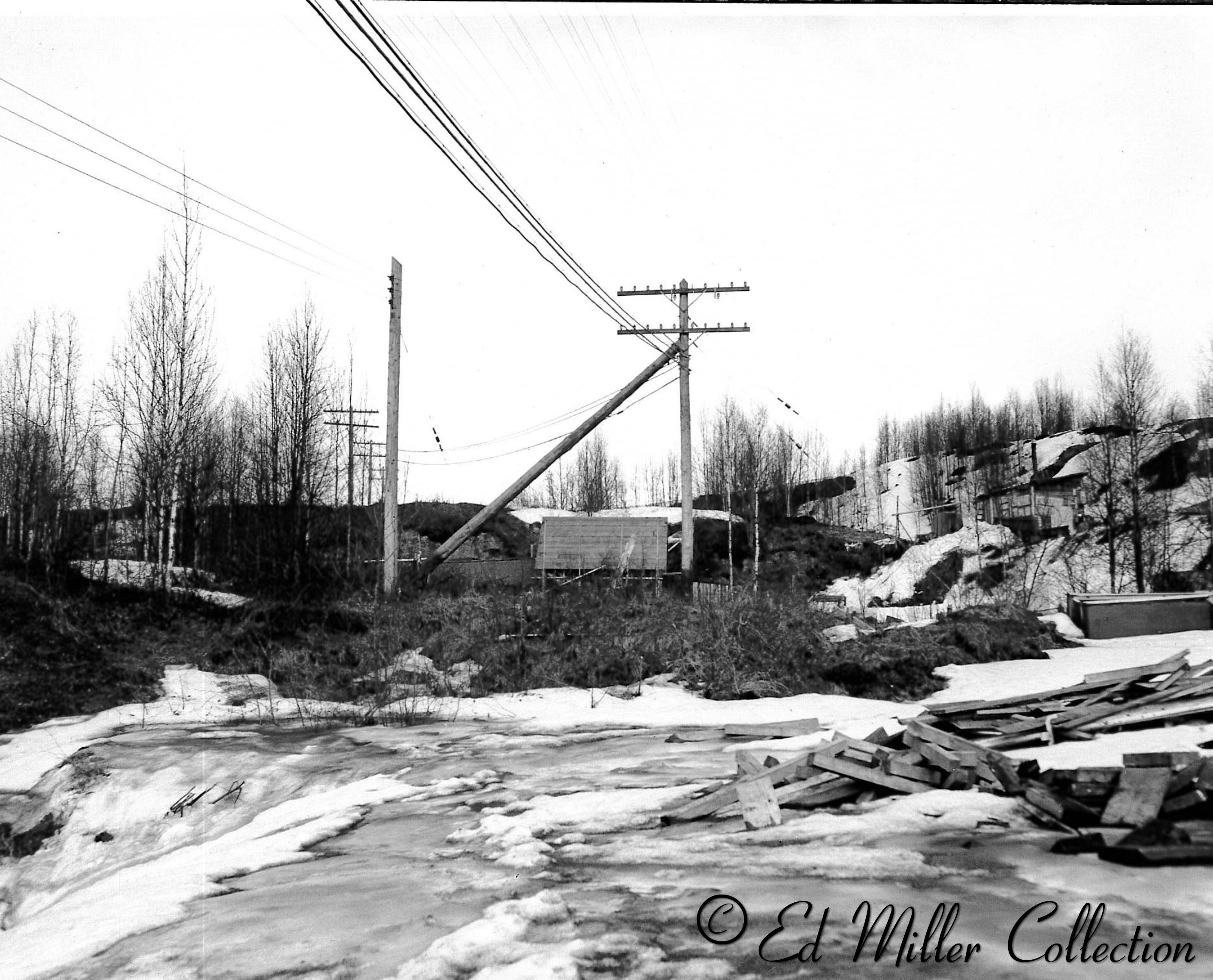
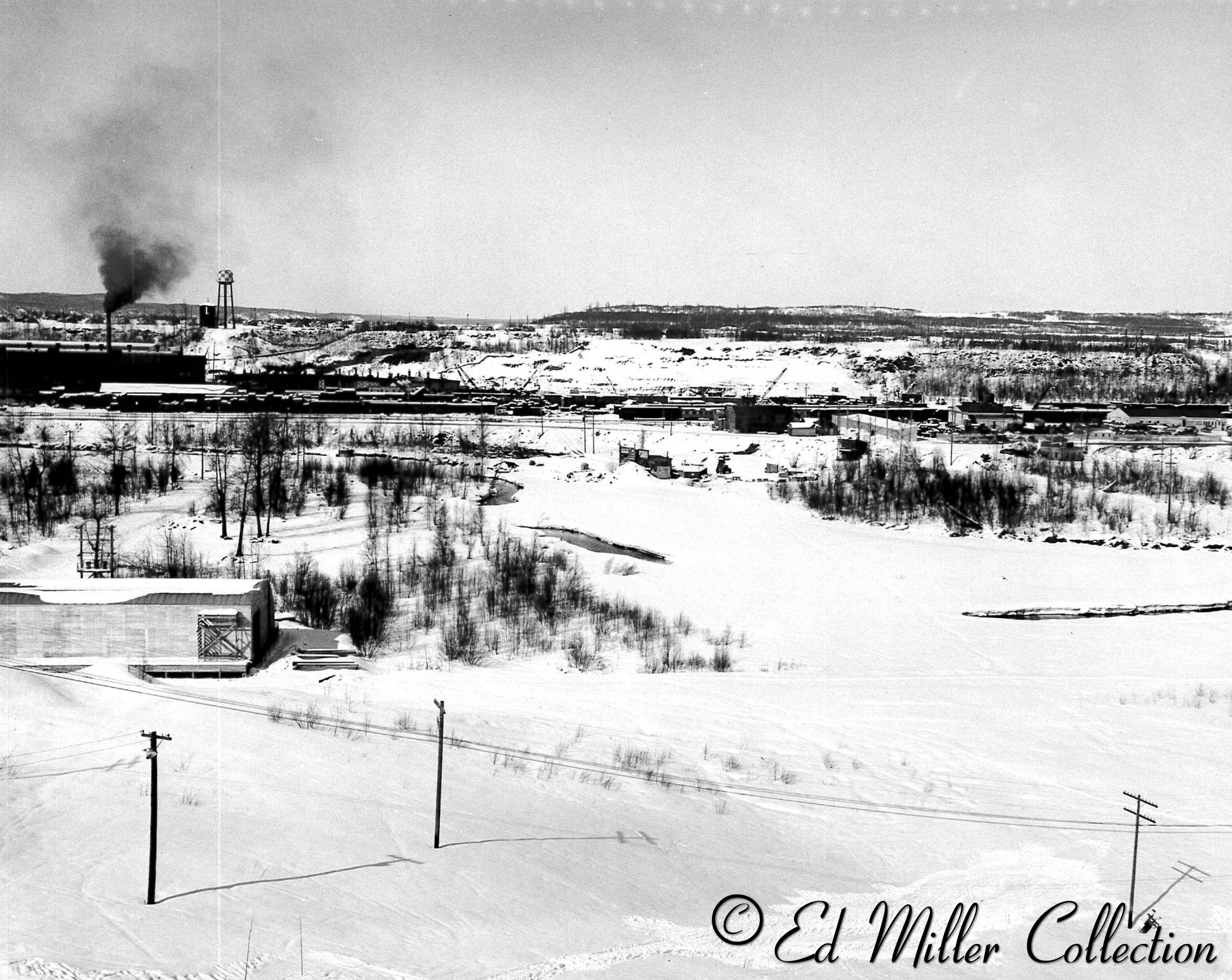
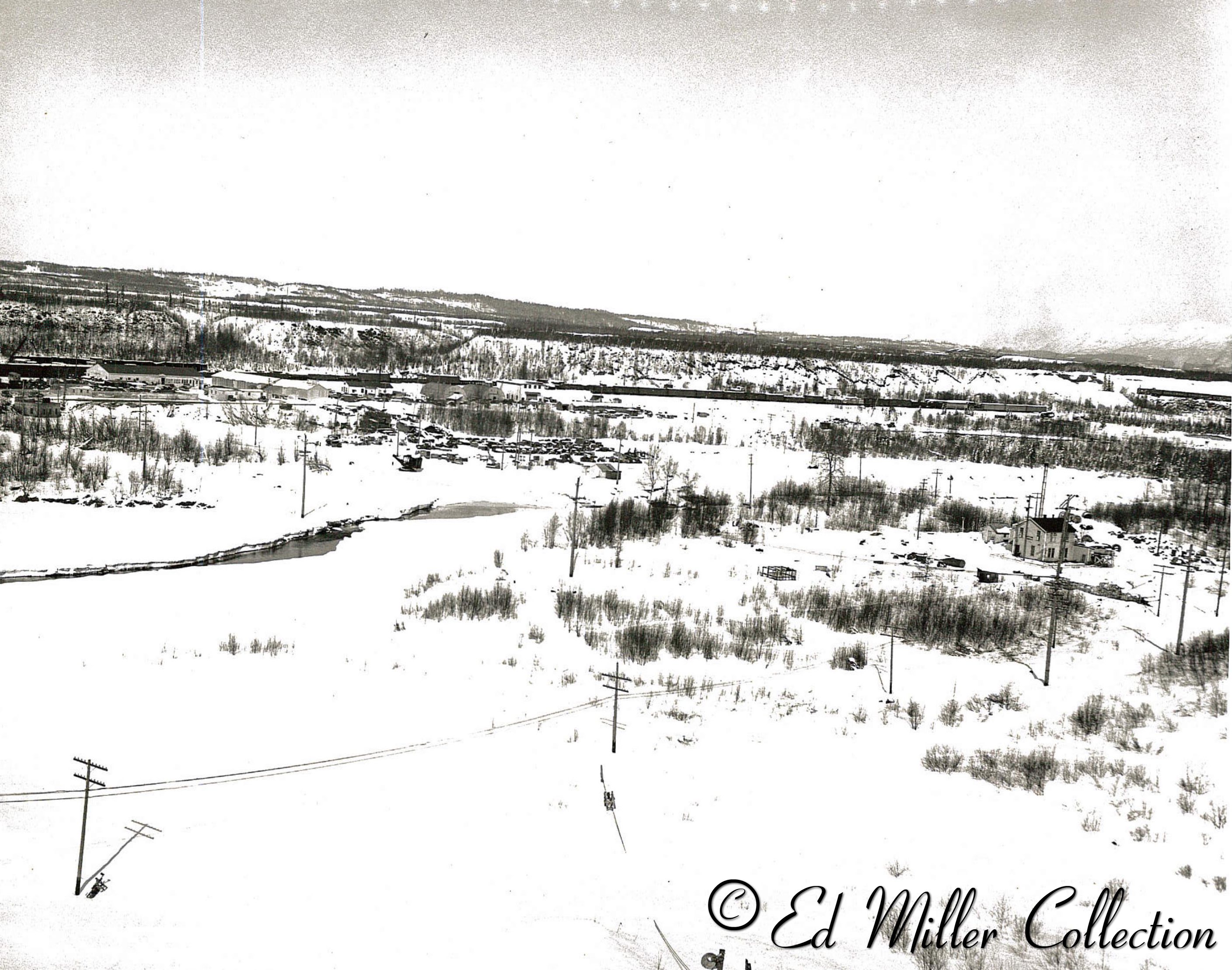
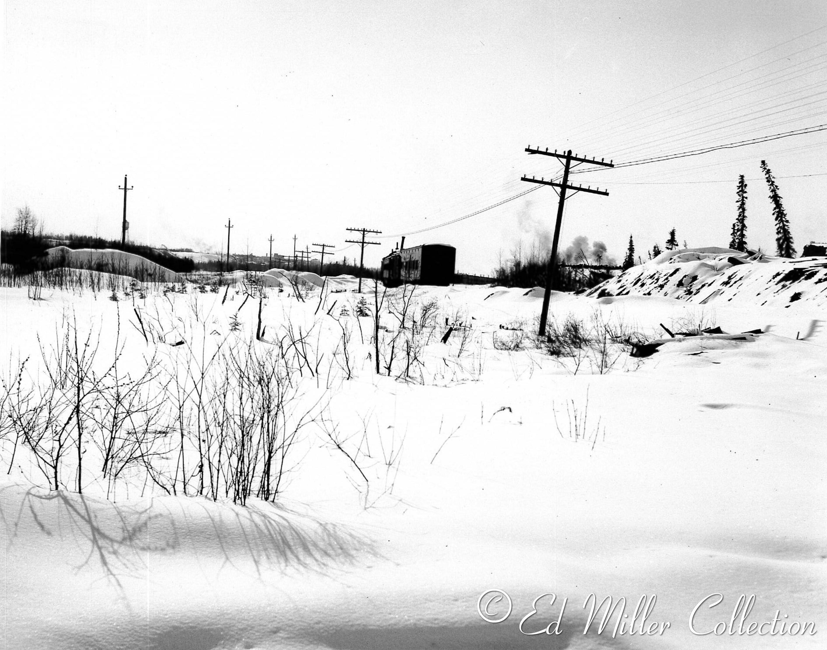
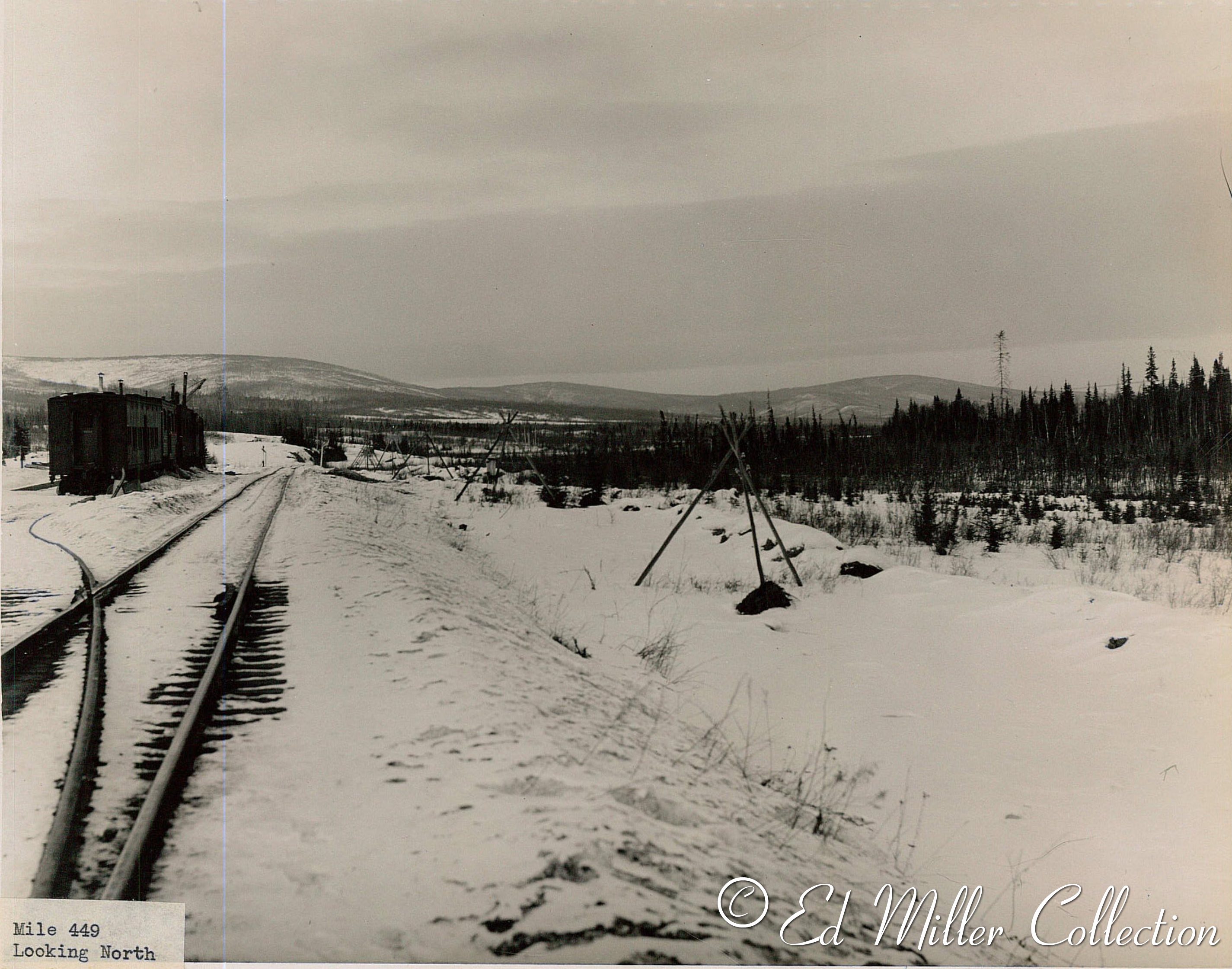
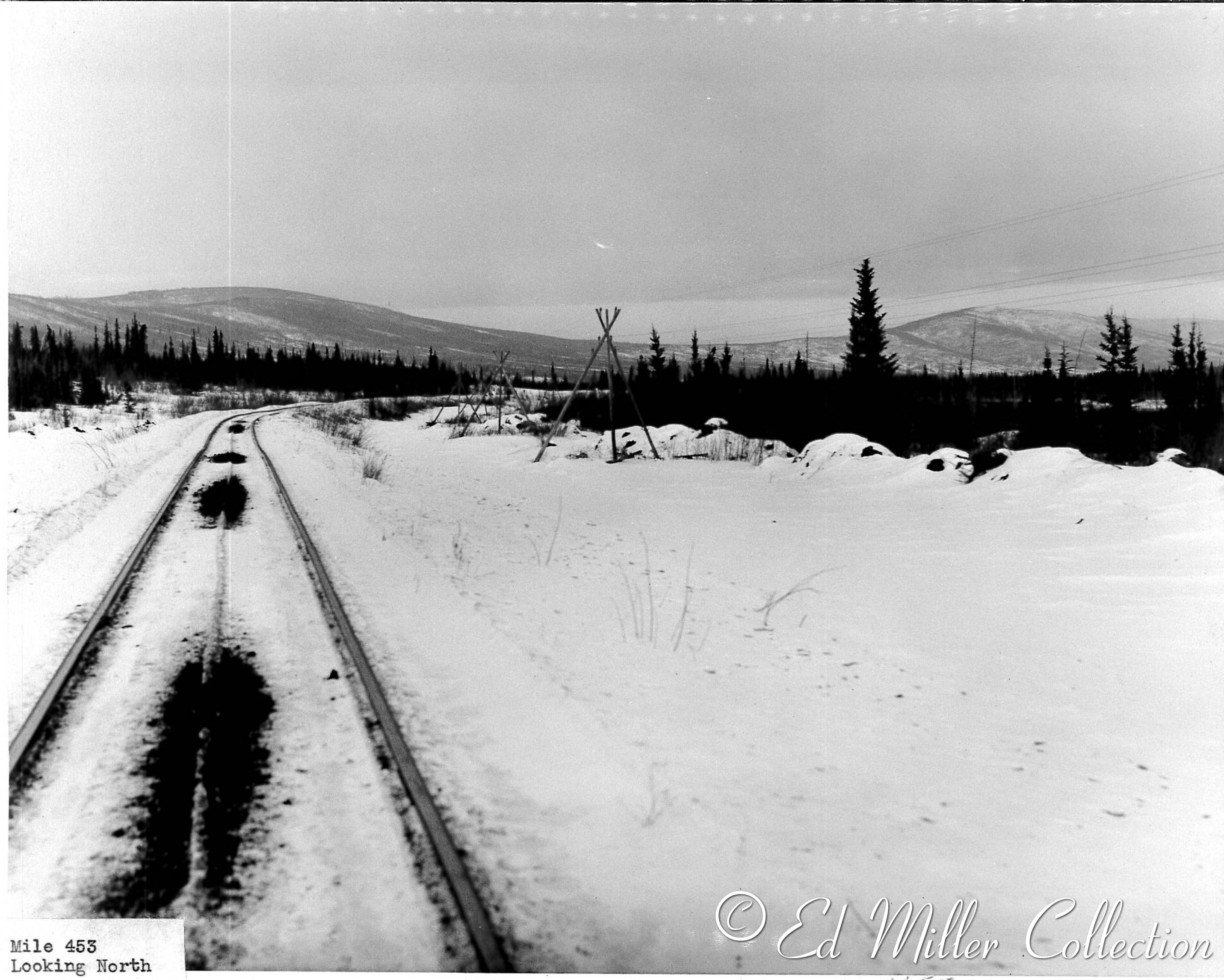
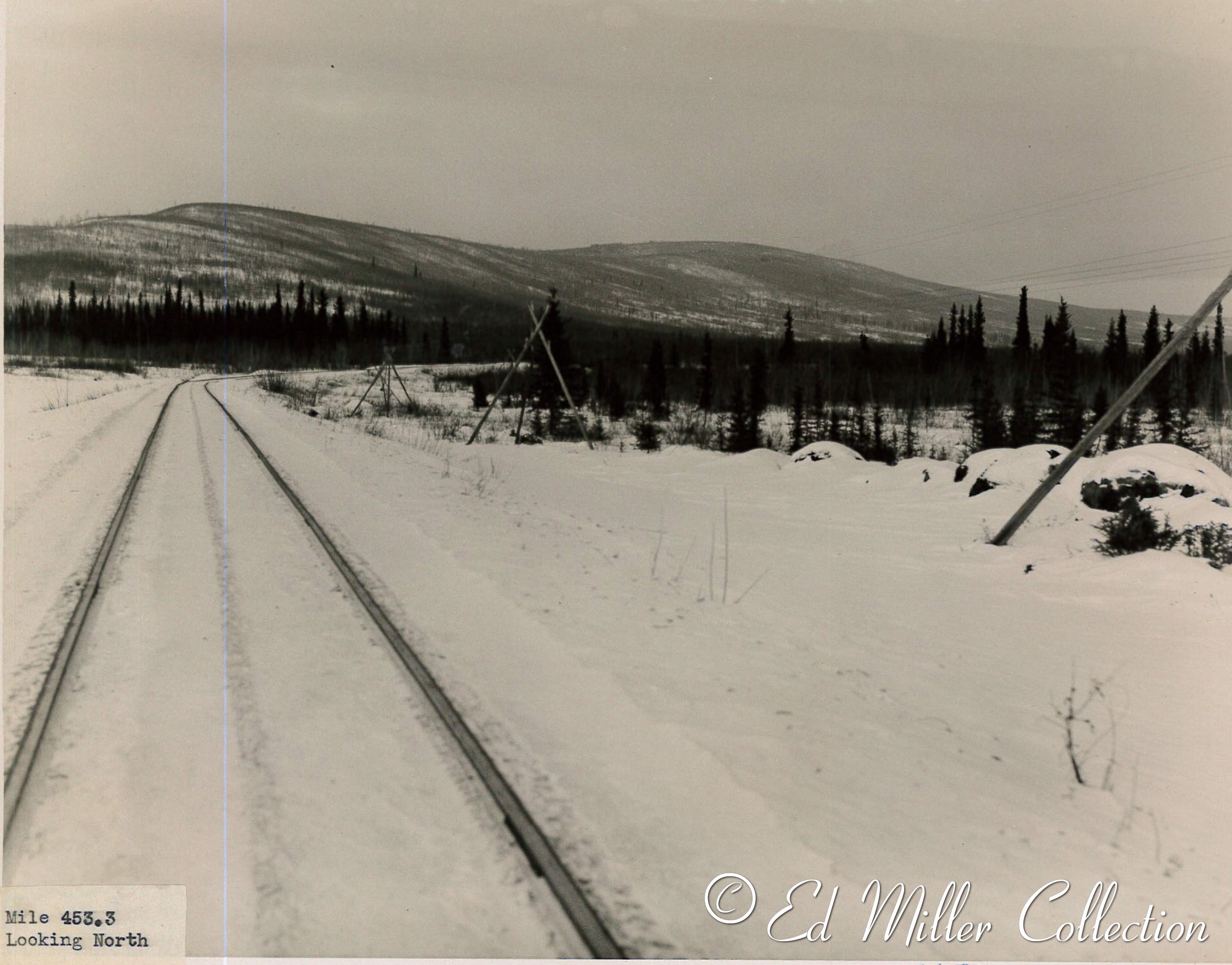
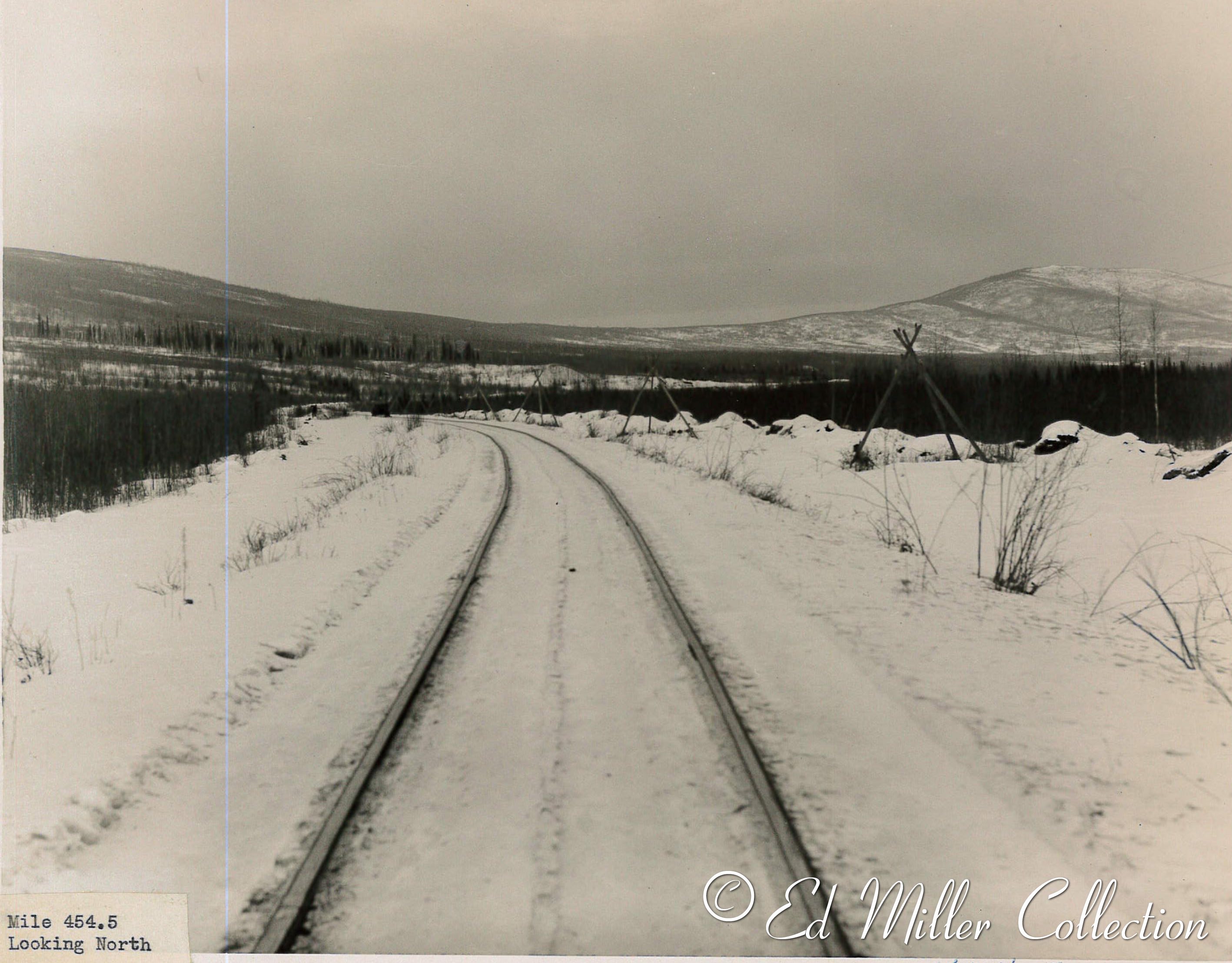
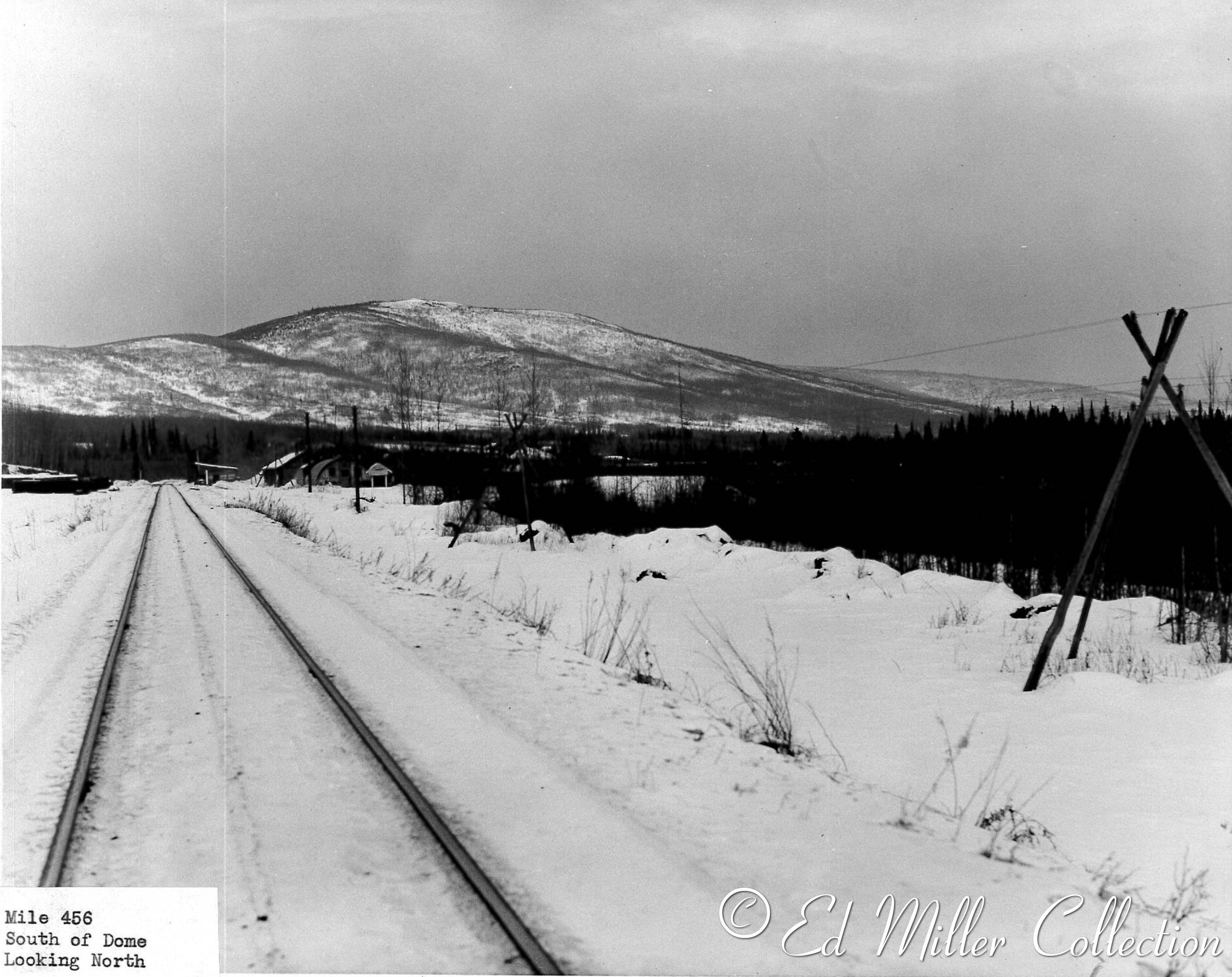
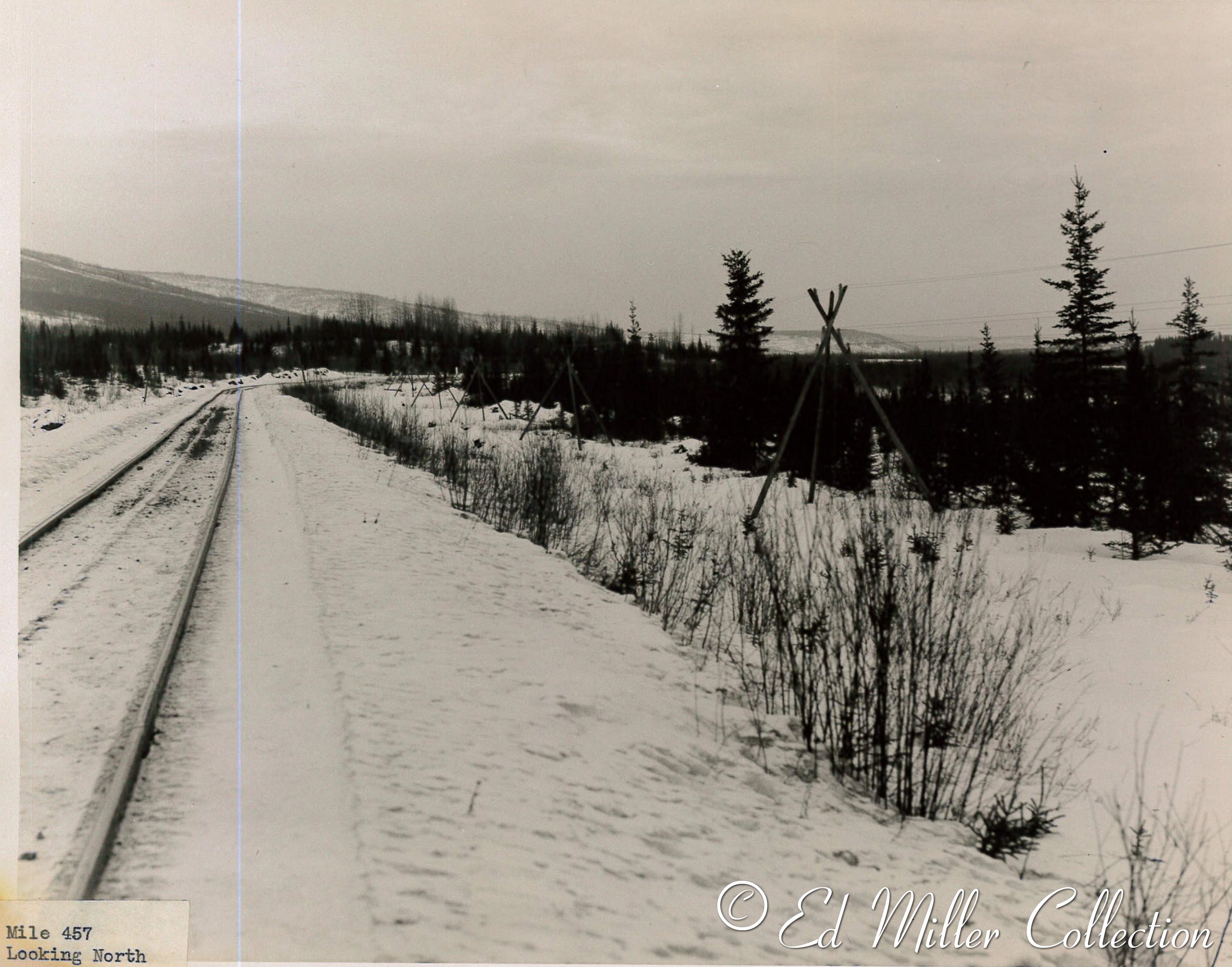
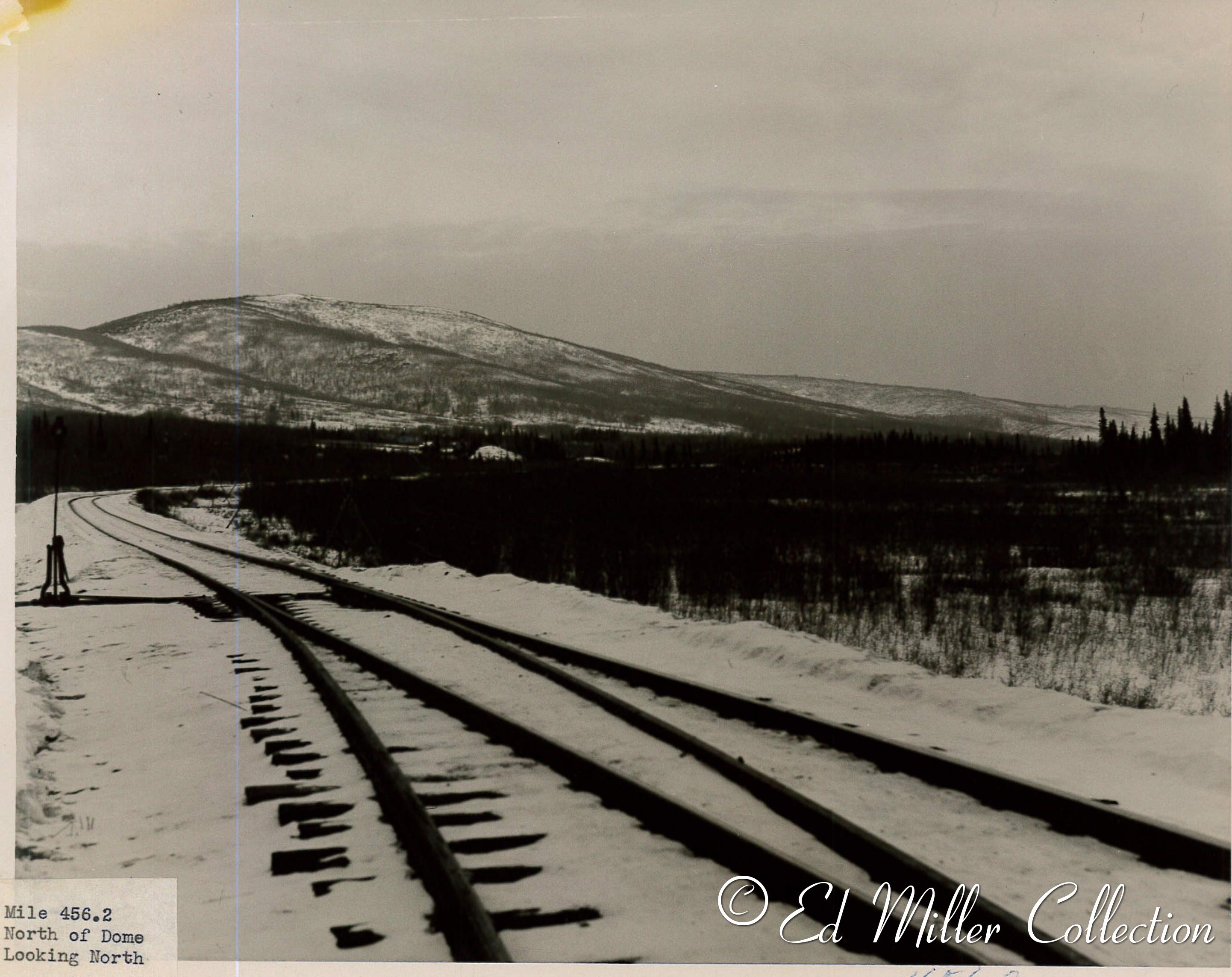
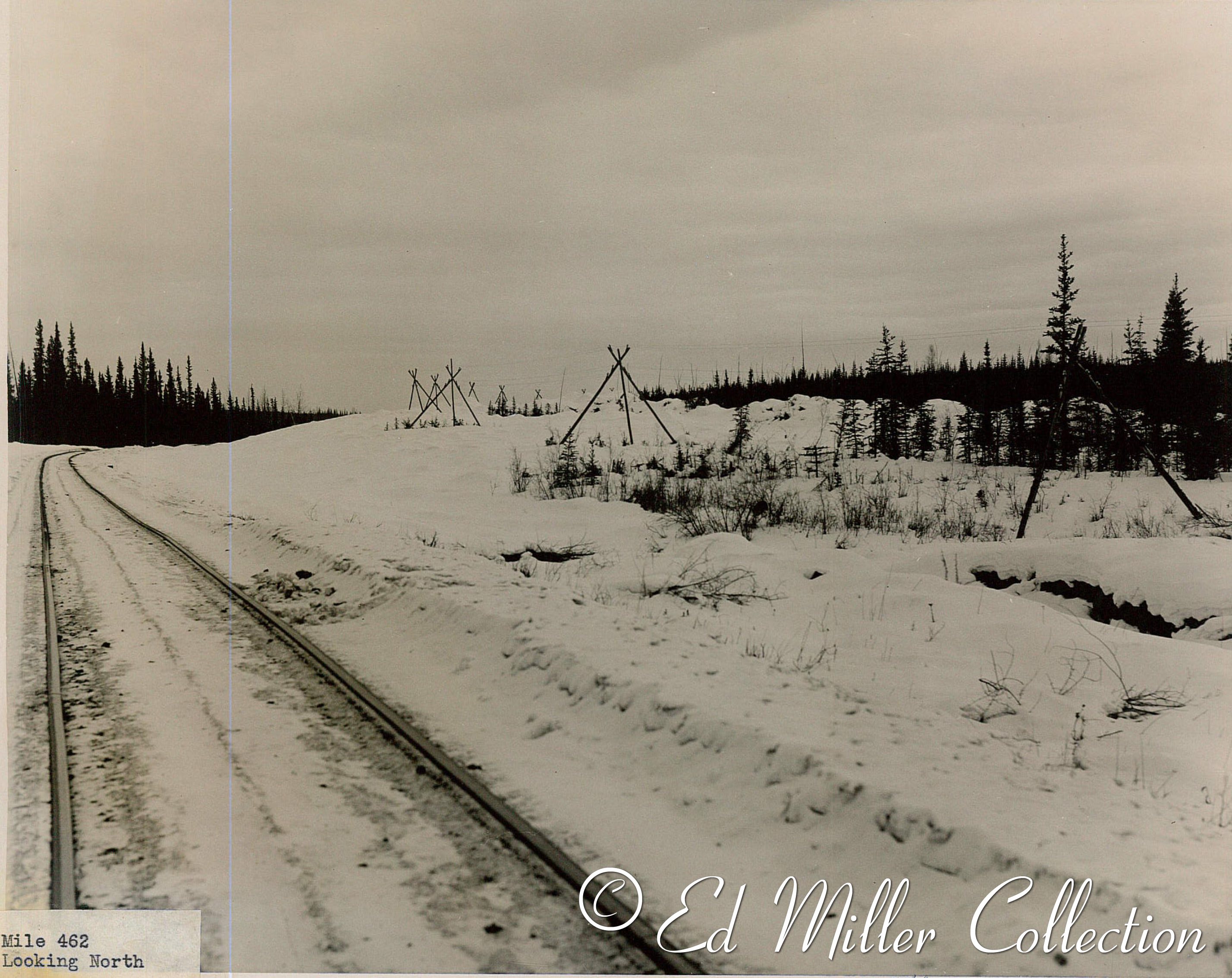
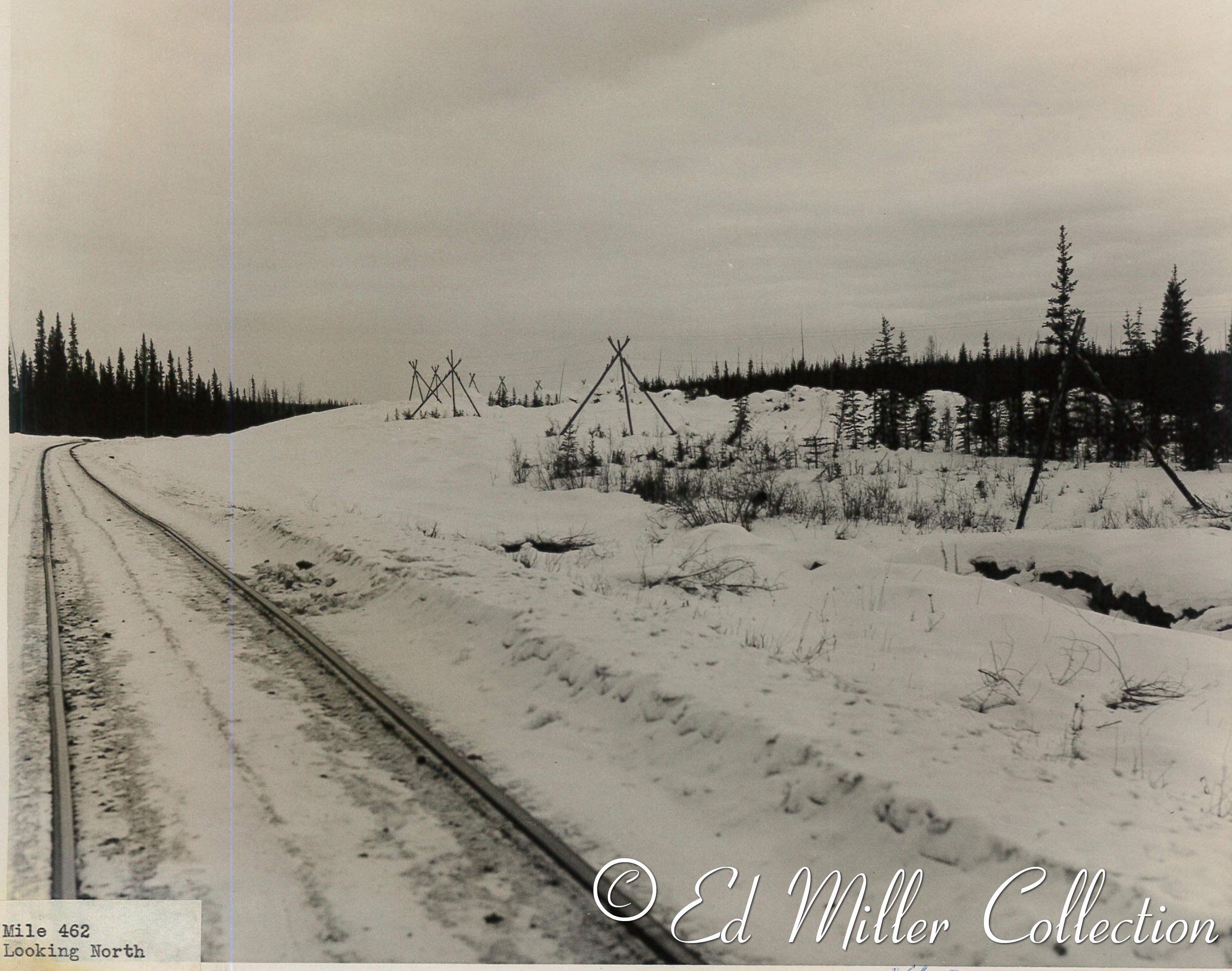
"These are the loose photos that you will have to try to figure the locations. The water mark on the back puts them being taken around 1950. You can see from some of the photos where they are located by the signs...
Others will require more deciphering.
There are also some from an airplane along the Turnagain arm."

image 1. Cantwell, taken 1963 or later.  The 2 story building is where I spent about a month in the summer of 63 working for the highway department. - O.W.
image 2. Healy Depot - O.W.
image 3. Nenana - O.W.
image 4. Golden Valley Power Plant at Healy.  Photo taken near the location of the Healy Depot.  Power plant began operation in 1967. - O.W.
image 5. Not sure but think it is McKinley Park.  see #26 - O.W.
image 6.
image 7. Same pole as #6 - O.W.
image 8. Curry After the Curry Hotel burned this building was used for feeding and lodging train crews and other railroad employees. - O.W.
image 9. Curry - O.W.
image 10. (10-22) The aerial photos appears to be along Turnagain Arm before the Seward Highway was constructed. These photos look like they might have been shot as the plane moved north from Girdwood. - O.W.
image 11. This shot look like it could be about where the Seward Highway crosses the Railroad at MP 75.7. - O.W.
image 12.
image 13.
image 14. Notice the remains of snow avalanches. - O.W.
image 15.
image 16.
image 17.
image 18.
image 19.
image/td> 20. Snowshed.  A 1930’s track chart shows 4 snowsheds between MP 75.9 and 76.5. - O.W.
image 21. Looks like it is near Bird Point.  A gravel pit at Bird Point was used in 1964 for material to repair the railroad after the March 27, 1964 earthquake. - O.W.
image 22. Just north of Bird Point. - O.W.
image 23. Bridge 64.7 (Twenty Mile River) and Seward Highway.- O.W.
image 24. Same as 23. - O.W.
image 25. McKinley Park - O.W.
image 26. Not sure but think it is McKinley Park.  A wind sock can be seen at the right edge of the photo. see #5. - O.W.
image 27. Nenana - O.W.
image 28. Hurricane - O.W.
image 29. McKinley Park.  Glenn Miller - O.W.
image 30. Nenana - O.W.
image 31. Nenana.  Parks Highway bridge in the background (Constructed circa 1964). - O.W.
image 32.
image 33.
image 34.
image 35.
image 36.
image 37.
image 38.
image 39.
image 40.
image 41.
image 42.
image 43.
image 44.
image 45.
image 46.
image 47.
image

48.

image 49.
image 50.
image 51.
image 52.
image 53.
image 54.
image 55.
image 56.
image 57.
image 58.
image 59.
image 60.
image 61.
image 62.
image 63.
image 64.
image 65.
image 66.
image 67.
image 68.
image 69.
image 70.
image 71.
image 72.
image 73.
image 74.
image 75.
image 76.
image 77.
image 78.
image 79.
image 80.
image 81.
image 82.
image 83.
image 84.
image 85.

Special thanks goes to Ed Miller for providing these images!
Thanks also to Obie Weeks for the extended commentaries.

Page created 9/21/17 and last updated 10/3/17
© 2017 Edward Miller collection unless otherwise noted